
.svg)
3D Modeling with LiDAR Technology
What Is LiDAR and Why It Matters for 3D Modeling
LiDAR (Light Detection and Ranging) is a remote sensing technology that uses laser pulses to measure distances with extreme accuracy. By emitting thousands—often millions—of laser points per second and recording their return time, LiDAR creates dense point clouds that precisely represent the physical world in three dimensions.
Unlike traditional photogrammetry, which relies heavily on visual texture and lighting conditions, LiDAR excels at capturing true geometry. This makes it especially valuable for projects where accuracy, surface detail, and reliability matter more than visual appearance alone.
How LiDAR Creates High-Fidelity 3D Models
The LiDAR-based 3D modeling workflow typically follows these steps:
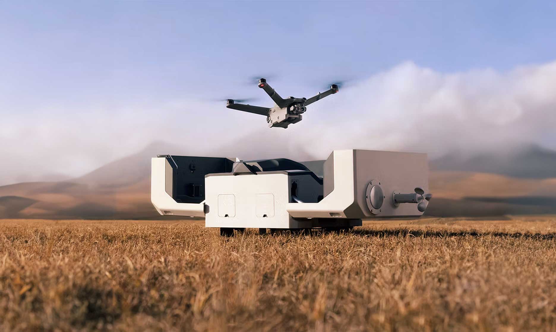
- Data Capture
LiDAR sensors—mounted on drones, aircraft, or ground-based platforms—scan the environment, collecting millions of spatial data points across terrain, structures, and vegetation. - Point Cloud Processing
Raw LiDAR data is cleaned, classified, and filtered to separate ground, buildings, vegetation, and other features. - Surface Generation
From the classified point cloud, accurate surfaces are created, such as:- Digital Terrain Models (DTM)
- Digital Surface Models (DSM)
- 3D meshes and contours
- Model Refinement & Export
Final 3D models are optimized and delivered in formats ready for CAD, GIS, BIM, or visualization workflows.
Key Advantages of LiDAR-Based 3D Modeling
Unmatched Accuracy
LiDAR delivers survey-grade precision, often within centimeters, making it ideal for engineering, construction, and infrastructure projects.
Performs Where Cameras Struggle
Because LiDAR is an active sensor, it works in low-light conditions and can penetrate vegetation to capture true ground elevation.
Scales to Large and Complex Sites
From dense urban environments to rugged terrain, LiDAR efficiently captures large areas without sacrificing detail.
Reliable Geometry Over Visual Guesswork
LiDAR models represent real-world form—not inferred surfaces—making them more dependable for analysis and measurement.
Common Applications of LiDAR 3D Modeling
- Civil Engineering & Surveying
Terrain modeling, site planning, and infrastructure design. - Construction & As-Built Documentation
Accurate progress tracking, clash detection, and verification against design plans. - Mining & Aggregates
Volumetric analysis, stockpile measurement, and pit modeling. - Environmental & Forestry Analysis
Vegetation height modeling, floodplain mapping, and erosion studies. - Utilities & Asset Management
Corridor mapping, powerline clearance analysis, and facility inspections.
LiDAR vs. Photogrammetry: When to Use Each
While photogrammetry produces visually rich 3D models from overlapping images, LiDAR is the better choice when:
- Precise elevation data is critical
- Vegetation obscures the ground
- Surfaces lack visual texture
- Measurements and analysis matter more than appearance
In many projects, combining LiDAR with photogrammetry delivers the best of both worlds—accurate geometry with realistic visuals.
The Future of 3D Modeling with LiDAR
As LiDAR sensors become lighter, faster, and more affordable, their use in 3D modeling continues to expand. Advances in drone platforms, real-time processing, and AI-assisted classification are making high-quality 3D models more accessible than ever.
For industries that depend on reliable spatial data, LiDAR is no longer a niche tool—it’s becoming the standard.
Final Thoughts
3D modeling with LiDAR technology provides a powerful foundation for planning, analysis, and decision-making. Its ability to capture precise, reliable geometry—regardless of lighting or surface conditions—sets it apart as one of the most trusted tools in modern spatial data workflows.
Whether you’re designing infrastructure, managing assets, or analyzing terrain, LiDAR-based 3D models turn complex environments into clear, actionable insight.