
.svg)
INSIGHTS & GUIDES
Resources for Drone Mapping & Geospatial Teams
Volumetrics
GIS & Mapping
Environmental & Natural Resources
FEATURED
3D Modeling with LiDAR Technology
LiDAR (Light Detection and Ranging) is a powerful tool for creating detailed 3D models of landscapes and structures. This article explores the technology behind LiDAR and its applications in various industries.
Read More
Thank you! Your submission has been received!
Oops! Something went wrong while submitting the form.
Environmental & Natural Resources
Environmental & Natural Resources
Environmental & Natural Resources
Field Operations
Field Operations
Field Operations
Insights & Analysis
Insights & Analysis
Insights & Analysis
October 31, 2025
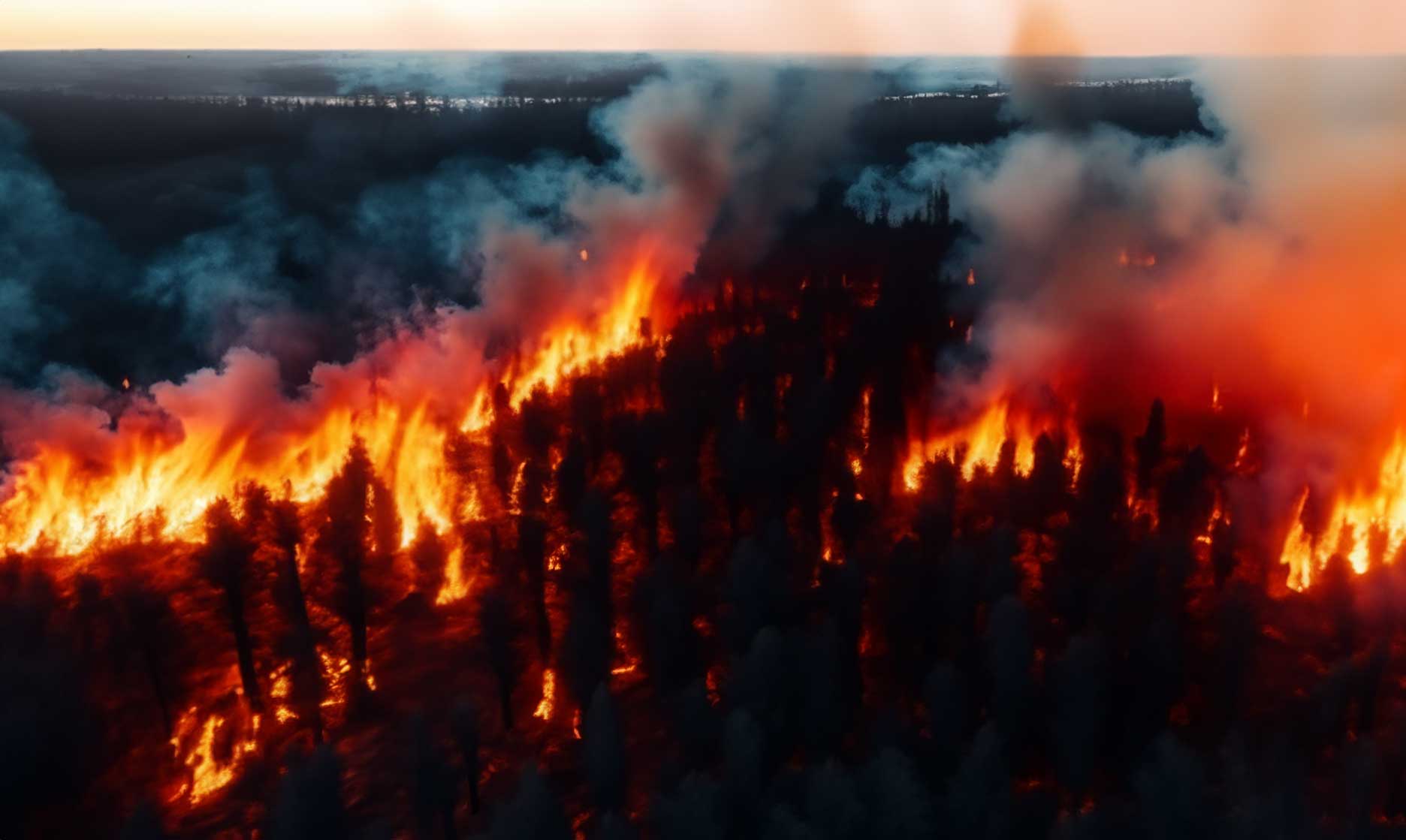
The Impact of Drones on Sustainability
How drones contribute to sustainability efforts.
Read More
Field Operations
Field Operations
Field Operations
Drone Mapping
Drone Mapping
Drone Mapping
Insights & Analysis
Insights & Analysis
Insights & Analysis
October 31, 2025
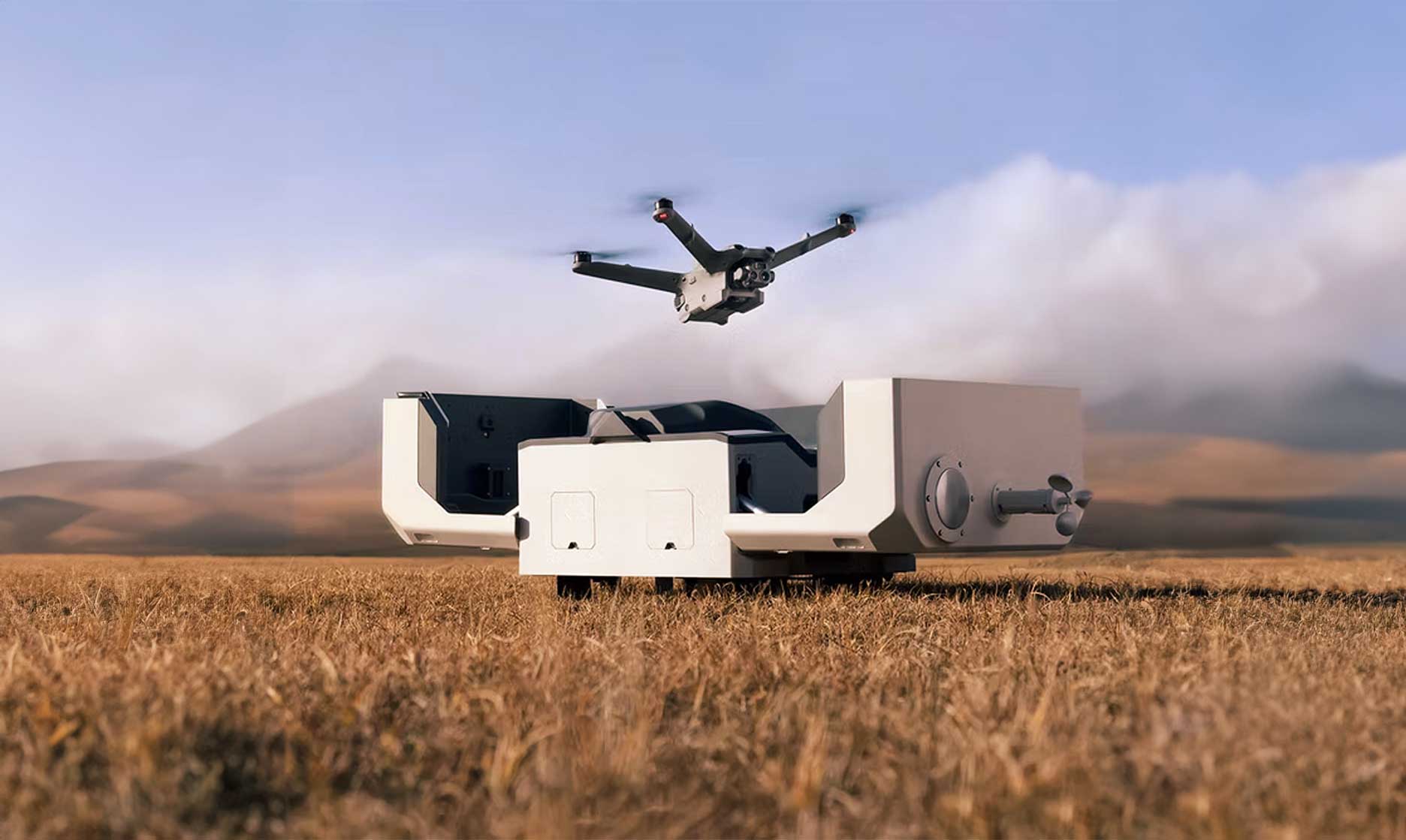
Drone Technology in Emergency Response
The role of drones in emergency response situations.
Read More
Drone Mapping
Drone Mapping
Drone Mapping
Environmental & Natural Resources
Environmental & Natural Resources
Environmental & Natural Resources
Insights & Analysis
Insights & Analysis
Insights & Analysis
October 31, 2025
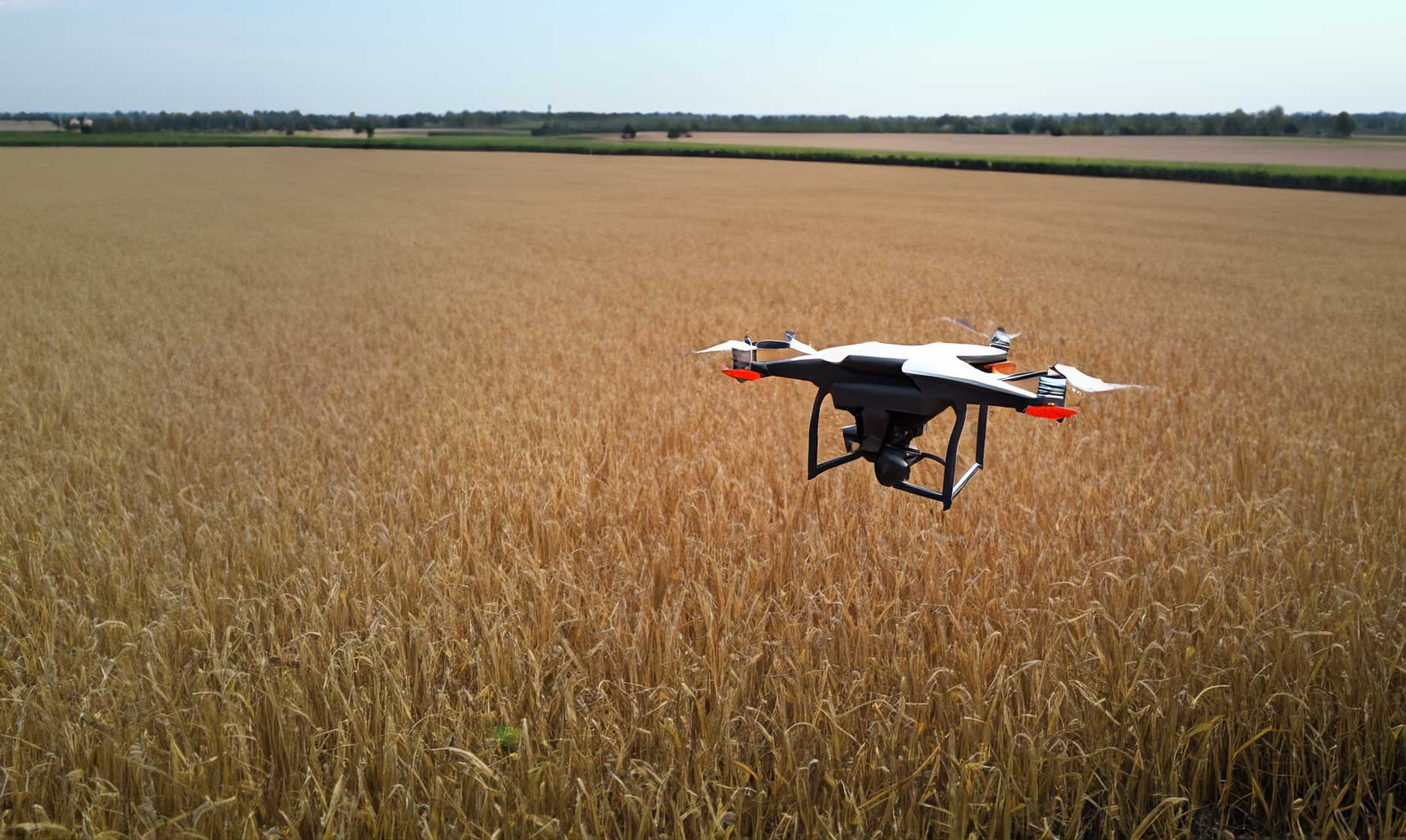
Drones in Agriculture
Exploring the role of drones in modern agriculture.
Read More
Field Operations
Field Operations
Field Operations
Insights & Analysis
Insights & Analysis
Insights & Analysis
Data Processing
Data Processing
Data Processing
October 31, 2025
Drone Analytics for Business
Drone analytics is transforming the way businesses make decisions. This article explores how data collected from drones can provide valuable insights for various industries.
Read More
Insights & Analysis
Insights & Analysis
Insights & Analysis
Drone Mapping
Drone Mapping
Drone Mapping
Construction
Construction
Construction

October 31, 2025
Drone Photography for Marketing
Leveraging drone photography for effective marketing strategies. Drone photography is becoming a popular tool for marketing, providing stunning aerial views that capture attention. This article discusses how businesses can leverage drone photography in their marketing strategies.
Read More
Field Operations
Field Operations
Field Operations
Insights & Analysis
Insights & Analysis
Insights & Analysis
LiDAR
LiDAR
LiDAR

October 31, 2025
The Future of Drone Technology
Insights into the future of drone technology in various industries. As drone technology continues to evolve, its applications across various industries are expanding. This article explores the future trends in drone technology and their potential impact.
Read More
GIS & Mapping
GIS & Mapping
GIS & Mapping
Insights & Analysis
Insights & Analysis
Insights & Analysis
Civil & Surveying
Civil & Surveying
Civil & Surveying
October 31, 2025
Drone Data for Urban Planning
Utilizing drone data for effective urban planning. Urban planners are increasingly using drone data to inform their decisions. This article discusses how drone technology can enhance urban planning processes.
Read More
Mining & Aggregates
Mining & Aggregates
Mining & Aggregates
Field Operations
Field Operations
Field Operations
Volumetrics
Volumetrics
Volumetrics
October 31, 2025
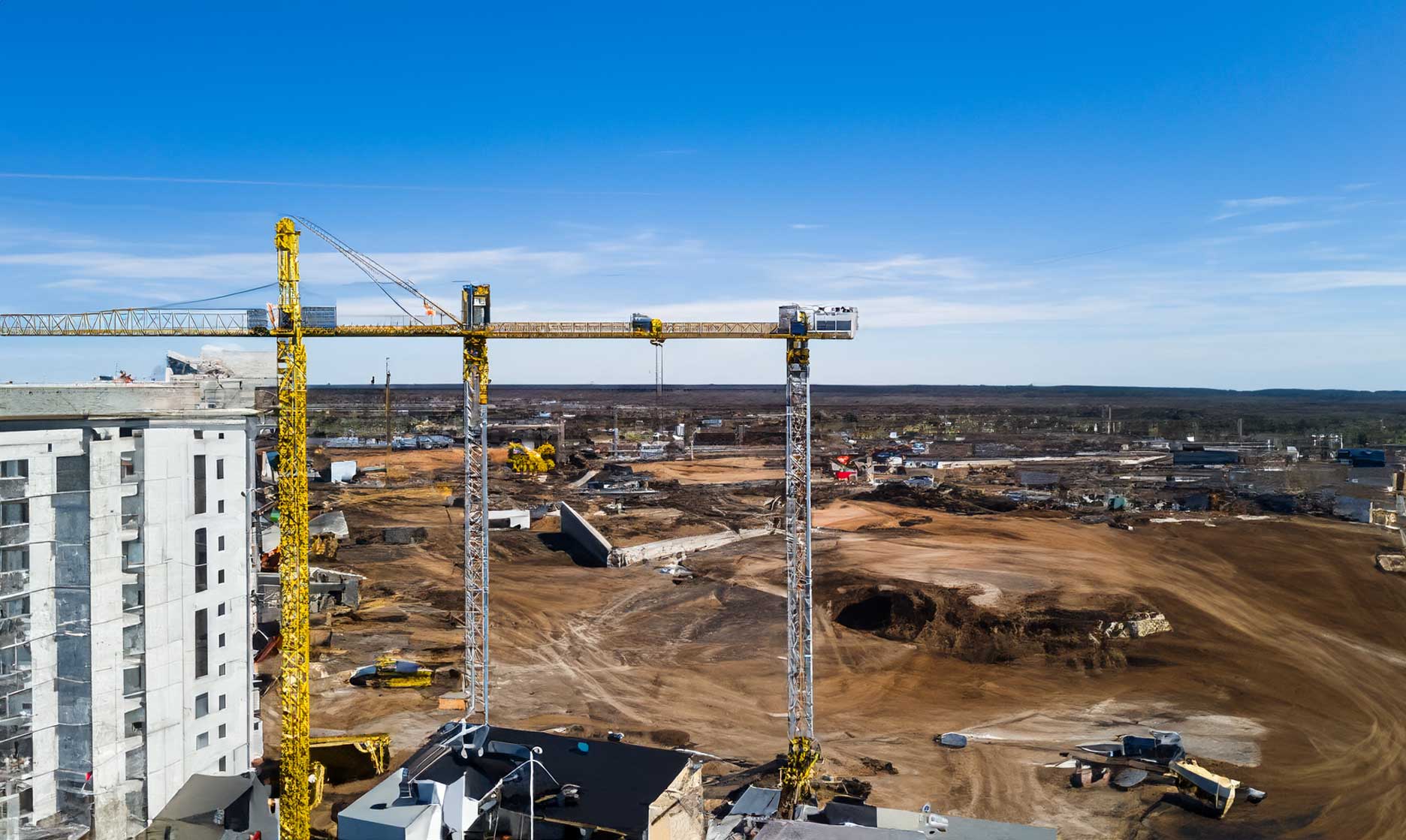
Drones in Mining Operations
How drones are transforming mining operations. Drones are becoming an essential tool in mining operations, providing aerial data that enhances safety and efficiency. This article explores the various applications of drones in the mining industry.
Read More
Case Studies
Case Studies
Case Studies
Civil & Surveying
Civil & Surveying
Civil & Surveying
Construction
Construction
Construction
October 31, 2025
Drone Surveying in Action
A detailed case study on the effectiveness of drone surveying. This case study examines a recent project where drone surveying was implemented to assess a large construction site. The results were impressive, showcasing the efficiency and accuracy of drone technology.
Read More
Construction
Construction
Construction
Field Operations
Field Operations
Field Operations
Insights & Analysis
Insights & Analysis
Insights & Analysis
October 31, 2025
Drone Technology in Construction
Explore the impact of drone technology in the construction industry. The construction industry is rapidly adopting drone technology to enhance project efficiency and safety. This article discusses the various applications of drones in construction.
Read More
Environmental & Natural Resources
Environmental & Natural Resources
Environmental & Natural Resources
GIS & Mapping
GIS & Mapping
GIS & Mapping
Insights & Analysis
Insights & Analysis
Insights & Analysis
October 31, 2025
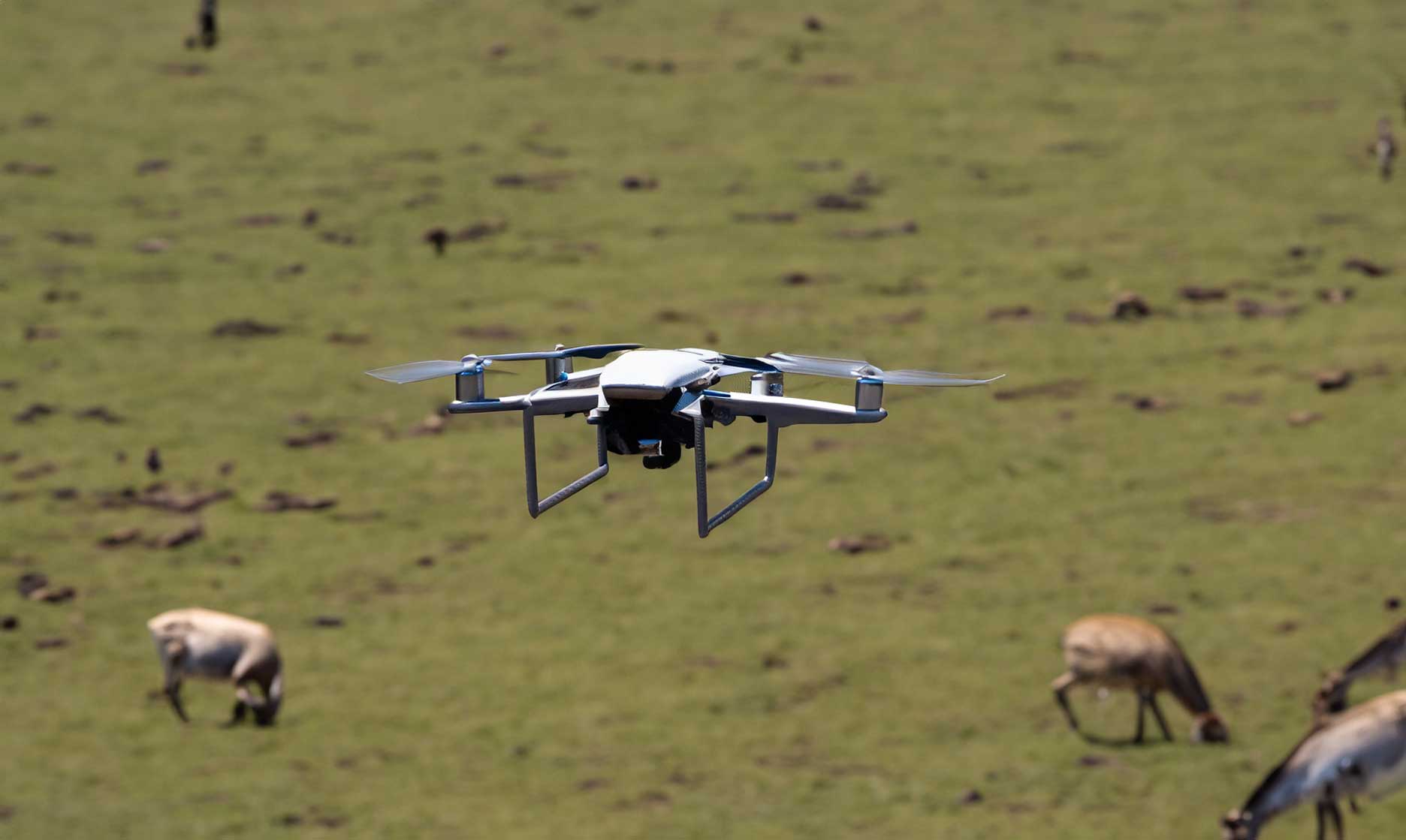
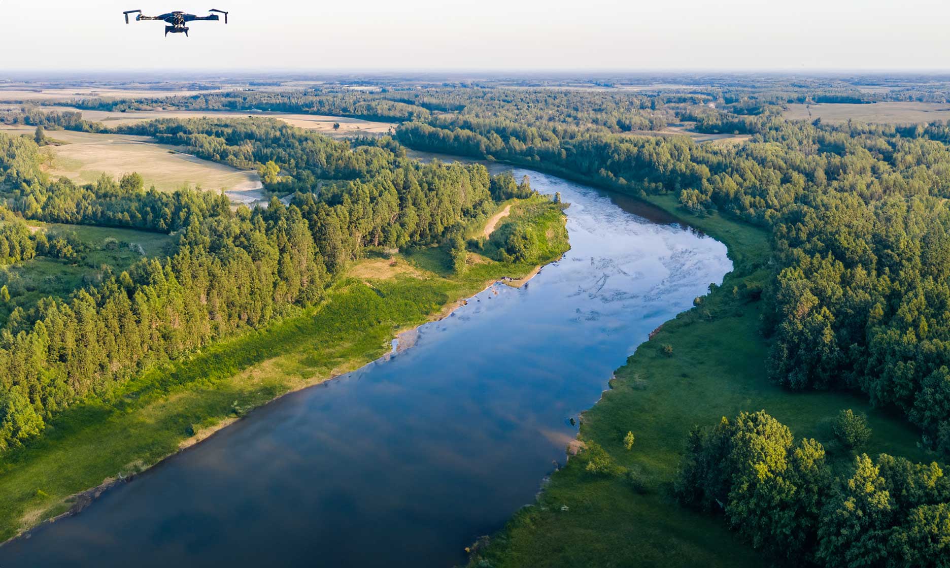
Environmental Insights from Drone Data
Gain insights into environmental monitoring using drone data. Drones provide a unique perspective for environmental monitoring, allowing for the collection of data that can inform conservation efforts. This article explores how drone data can be used to gain insights into environmental changes.
Read More
Civil & Surveying
Civil & Surveying
Civil & Surveying
Drone Mapping
Drone Mapping
Drone Mapping
Data Processing
Data Processing
Data Processing
October 31, 2025
Surveying Workflows with Drones
Optimize your surveying workflows using drones. Drones have transformed surveying workflows, making them more efficient and accurate. This article outlines the steps involved in integrating drones into your surveying processes.
Read More
Volumetrics
Volumetrics
Volumetrics
GIS & Mapping
GIS & Mapping
GIS & Mapping
Environmental & Natural Resources
Environmental & Natural Resources
Environmental & Natural Resources
January 14, 2026
3D Modeling with LiDAR Technology
LiDAR (Light Detection and Ranging) is a powerful tool for creating detailed 3D models of landscapes and structures. This article explores the technology behind LiDAR and its applications in various industries.
Read More
Photogrammetry
Photogrammetry
Photogrammetry
Civil & Surveying
Civil & Surveying
Civil & Surveying
Data Processing
Data Processing
Data Processing
October 31, 2025
Photogrammetry in Drone Surveying
Learn how photogrammetry enhances drone surveying. Photogrammetry is a key technology in drone surveying, enabling the creation of accurate 3D models and maps. This article discusses the principles of photogrammetry and its applications in various fields, including construction and environmental monitoring.
Read More
Drone Mapping
Drone Mapping
Drone Mapping
GIS & Mapping
GIS & Mapping
GIS & Mapping
LiDAR
LiDAR
LiDAR

October 31, 2025
Aerial Mapping Techniques for Precision
Explore the latest techniques in aerial mapping using drones. Aerial mapping has revolutionized the way we capture and analyze geographical data. By utilizing drones equipped with high-resolution cameras, we can create detailed maps that are not only accurate but also cost-effective. This article delves into various techniques used in aerial mapping, including photogrammetry and LiDAR, and how they can be applied in different industries.
Read More

IT STARTS NOW
Transform your ideas into results
Share your vision with us, and we’ll create the path to make it real.
Thank you! Your submission has been received!
Oops! Something went wrong while submitting the form.