
.svg)
Drones in Mining Operations
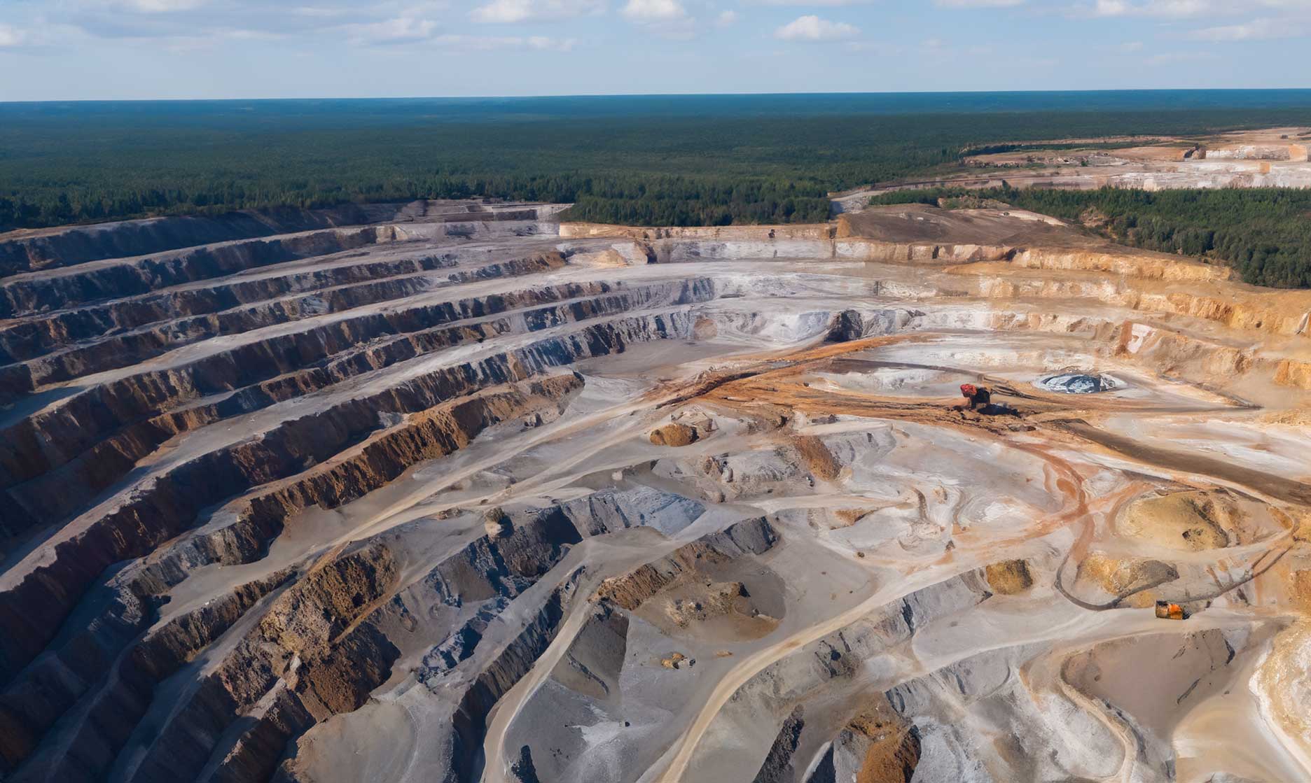
The Role of Drones in Modern Mining Operations
Mining companies are increasingly relying on drone technology to enhance safety, productivity, and precision. Aerial data collected by drones allows teams to map sites, monitor progress, and assess hazards in real time—transforming how mines are managed from exploration to reclamation.
Improving Safety and Efficiency
Traditional mining surveys often expose workers to hazardous conditions. Drones eliminate the need for manual inspections in high-risk areas by capturing accurate, high-resolution imagery from above.
This data supports faster decision-making while minimizing on-site exposure.
Reducing Risk in Hazardous Zones
Drones can safely inspect unstable slopes, stockpiles, or blasting zones, allowing teams to evaluate conditions remotely before sending personnel in.
Surveying and Mapping Mine Sites
Accurate mapping is essential for every stage of the mining process. Drones equipped with photogrammetry or LiDAR sensors can create detailed topographic maps, contour models, and volumetric analyses in a fraction of the time of traditional surveys.
Faster, More Accurate Data Collection
Automated flight paths ensure consistency across surveys, producing repeatable data for progress tracking, pit optimization, and compliance documentation.
Stockpile Measurement and Volume Calculation
Stockpile management is one of the most valuable applications of drone data.
Aerial imagery and point clouds allow teams to measure volumes with centimeter-level accuracy, providing reliable data for inventory and financial reporting.
Eliminating Manual Errors
By using drone-based 3D models, mining operators can replace manual measurement methods with automated systems that deliver faster, safer, and more consistent results.
Monitoring Environmental Impact
Beyond production, drones help monitor environmental compliance by tracking land disturbance, runoff, and vegetation regrowth. Regular flights generate a visual record of site rehabilitation and support sustainability reporting.
The Future of Drone Technology in Mining
Next-generation mining operations are moving toward full automation, integrating drones with real-time analytics and AI detection systems. These innovations will enable continuous monitoring, predictive maintenance, and seamless data integration with existing mine management platforms.