
.svg)
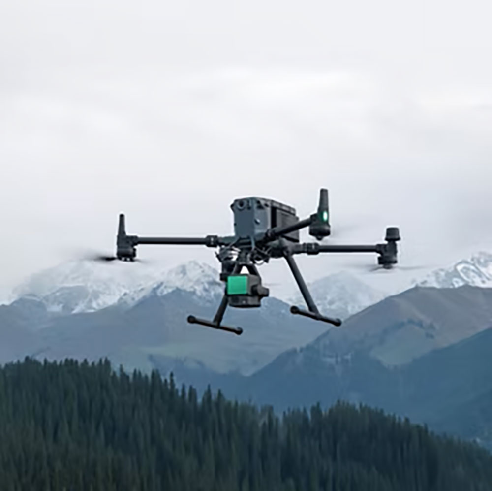
Access the Inaccessible
Comprehensive drone inspections for construction, infrastructure, and energy assets.
.svg)
Inspect Pro
From bridges and wind turbines to active construction sites, Inspect Pro turns aerial imagery into measurable insights. We process, analyze, and visualize every dataset to help you detect structural issues early and maintain critical assets with confidence.
Book an Inspection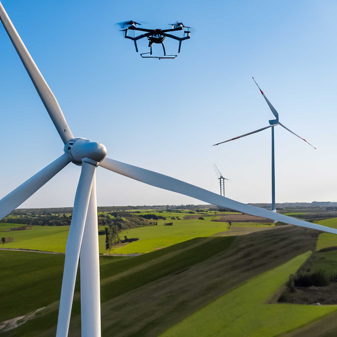
Why Inspect Pro
.png)
Comprehensive Coverage
Our inspection workflows capture every angle and detail—from high-resolution imagery to 3D models—so you can assess even the most hard-to-reach structures with confidence.

Actionable Insights
We don’t just capture data—we analyze it. Identify cracks, corrosion, deformation, and other anomalies early to prevent costly repairs and downtime.

Safety First
Eliminate the risks of manual inspection. Our drone-based approach keeps crews safe while providing clear visual data for informed decision-making.

Rapid Reporting
Receive processed visuals and detailed inspection reports within days, not weeks—so maintenance, planning, and documentation stay on schedule.
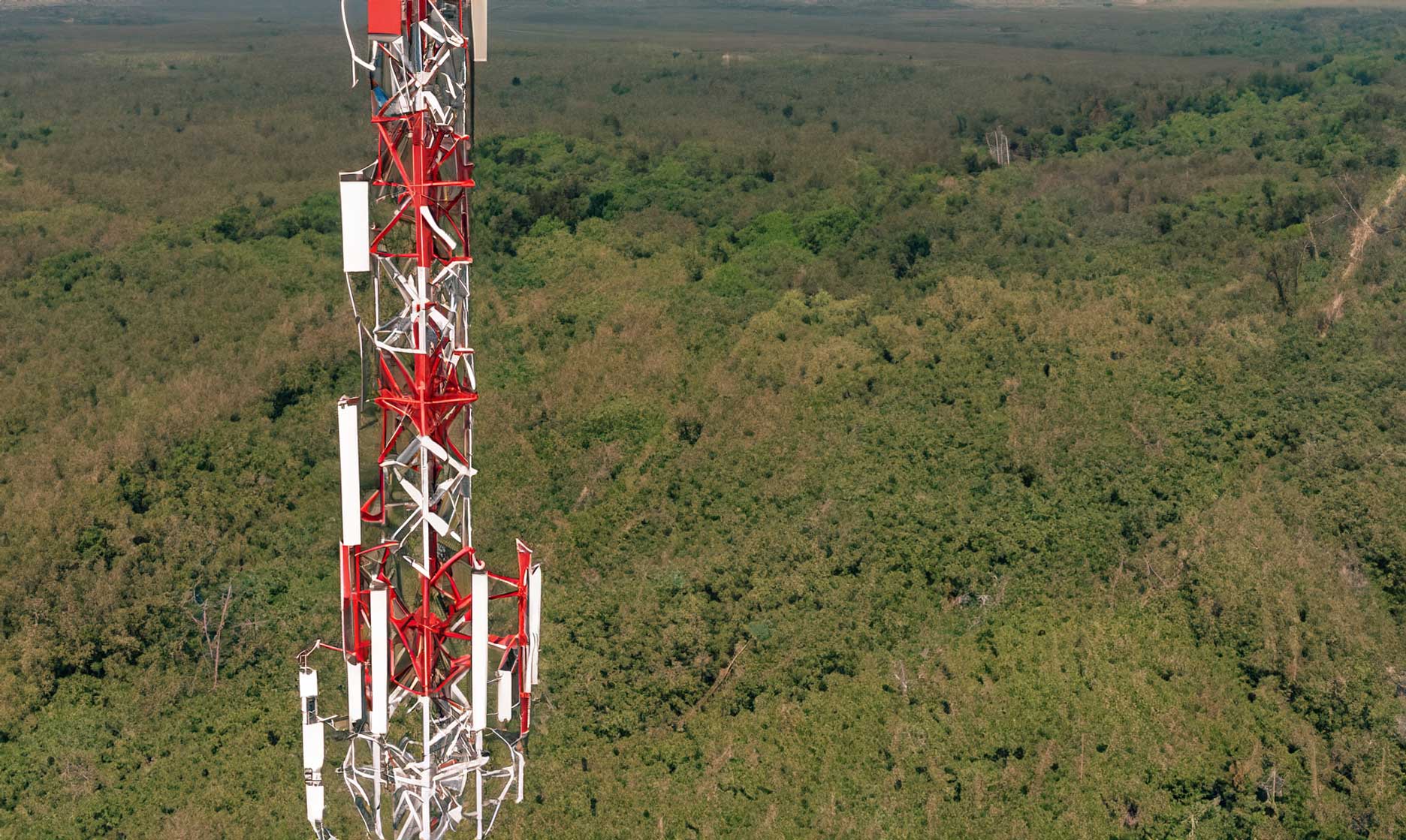
Powerline Utilities
Inspect transmission and distribution assets safely and at scale—no outages required.
Conductor, insulator, and hardware defect detection (RGB + thermal)
Vegetation encroachment mapping & clearance reporting
Structure condition photos, geo-tagged issues, prioritized punchlists
Corridor orthomosaics and LiDAR for PLS-CADD-ready measurements


Heavy Industry
Reduce downtime and risk with precision aerial inspections across complex facilities.
Tank, stack, flare, and pipe-rack visual/thermal anomaly detection
Corrosion, coatings, and heat-loss surveys with actionable tagging
Roof, scaffold-free elevated asset checks; confined/remote area visuals
Repeatable routes for trend analysis and maintenance planning
Building Inspections
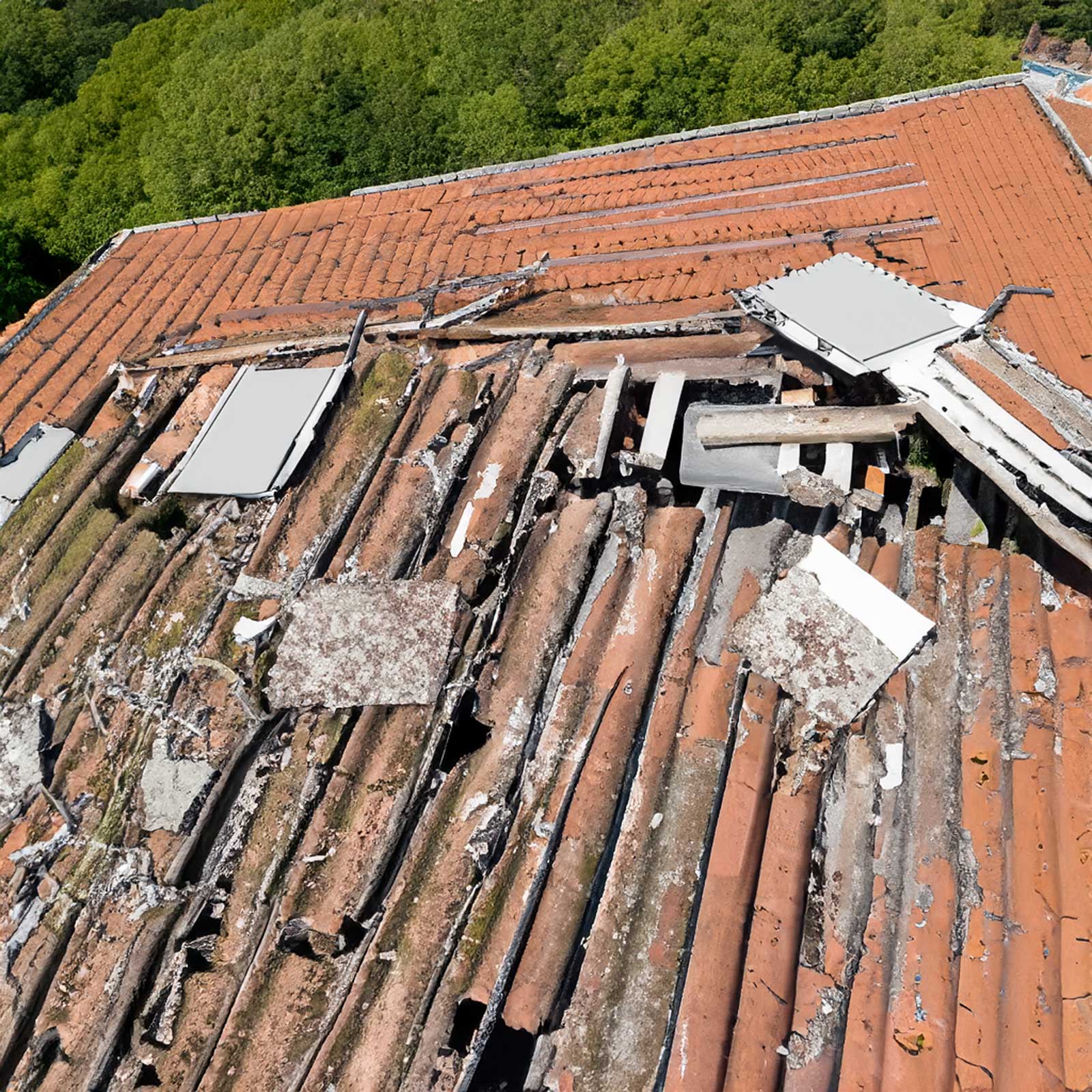
Fast, non-intrusive assessments for envelope, roof, and façade health.
Roof moisture & leak detection (thermal) with annotated defect maps
Façade crack, spall, and sealant condition documentation (high-res)
As-found photo logs, CAD overlays, and repair-ready punchlists
Post-storm claims support with before/after evidence
Renewable Resources
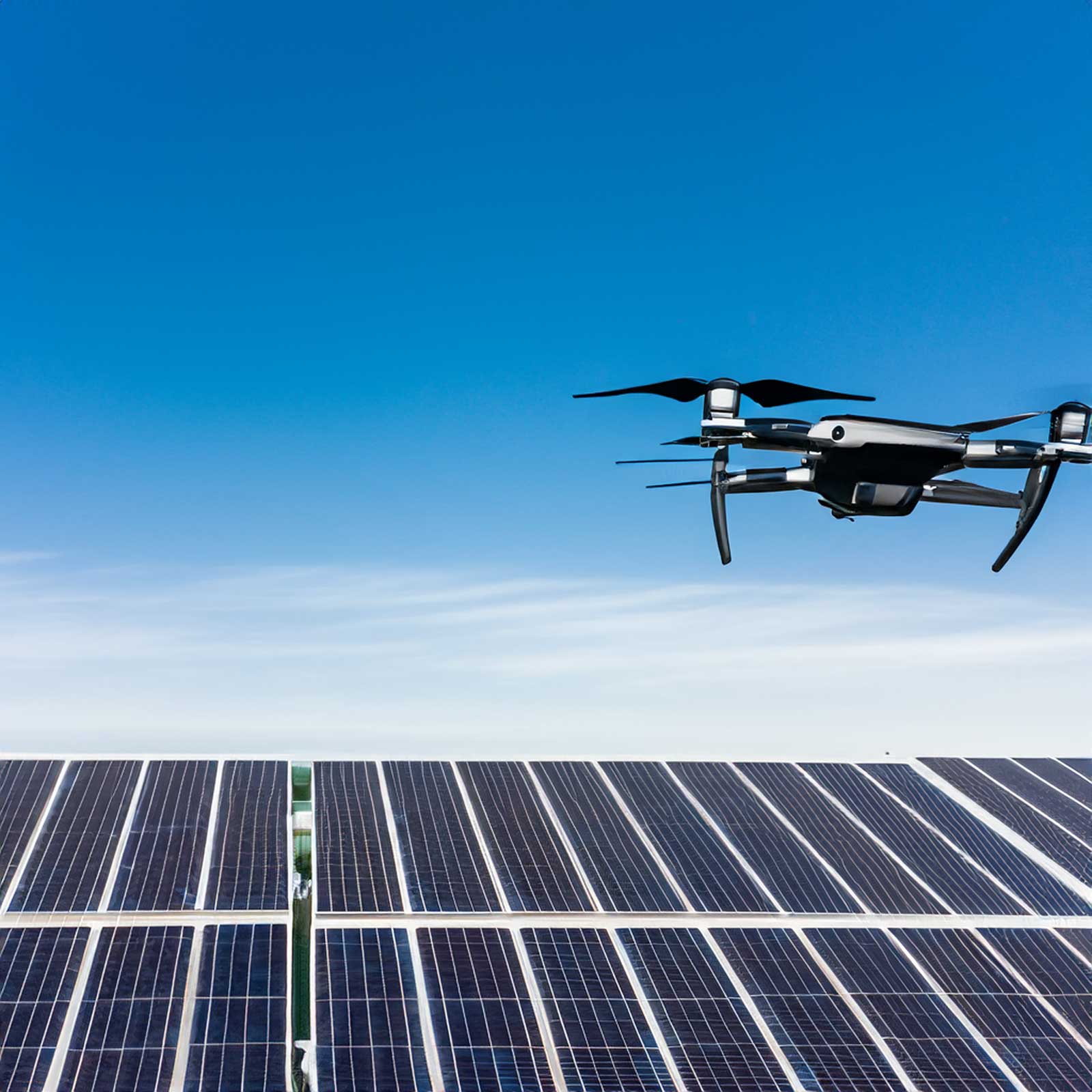
Keep solar and wind assets performing at peak with data-driven inspections.
PV hotspot & string-level anomaly detection (IEC thermal methods)
Soiling, shading, and module mismatch mapping with yield impact
Wind turbine blade visual/thermal defect classification
Portfolio rollups: site KPIs, issue severity, and maintenance priorities
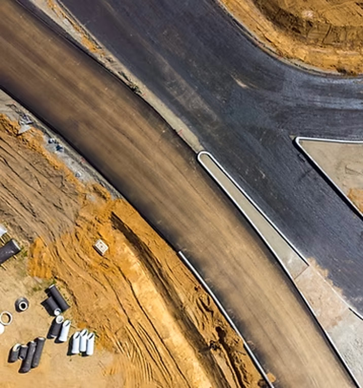
Drone Inspections for Hard-to-Reach Assets
Conduct detailed visual assessments of structures, towers, and infrastructure—safely and efficiently. Our inspection workflows capture high-resolution data that reveals surface conditions, structural integrity, and potential maintenance issues long before they become critical.
High-Resolution Visual Deliverables
- Crystal-clear imagery and video for surface-level and structural evaluation
- Identify cracks, corrosion, or damage with centimeter-level accuracy
- Consistent visual datasets for side-by-side progress or condition comparisons
3D Modeling & Condition Analysis
- Generate accurate 3D models for towers, bridges, and facilities
- Detect deformation, measure distances, and visualize defects in context
- Ideal for maintenance planning, compliance documentation, and safety audits
Notice the difference: Drone-based inspections eliminate the need for risky manual access, delivering precise, repeatable, and verifiable data. With Databird, every inspection becomes safer, faster, and more insightful.
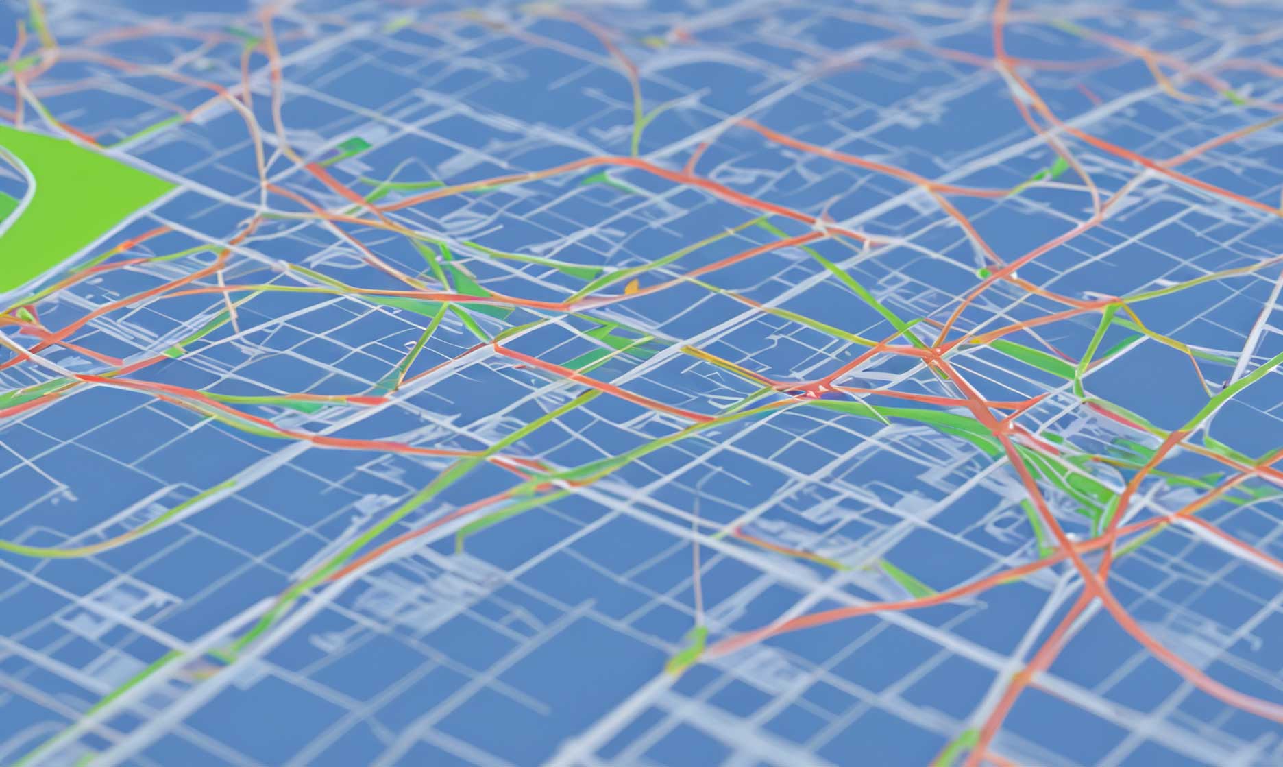
Inspection Intelligence at Scale
From single structures to full infrastructure networks—one seamless workflow.
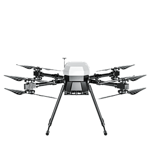
multicopter drone
100’s acres
Efficient capture with multicopter drones for small-to-mid sized sites.
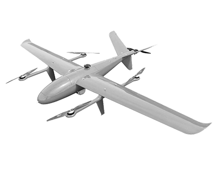
VTOL drone
1000’s acres
Efficient capture with multicopter drones for small-to-mid sized sites.
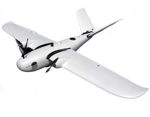
Airplane drone
10,000’s acres
Efficient capture with multicopter drones for small-to-mid sized sites.
Drone Inspections for Hard-to-Reach Assets
Conduct detailed visual assessments of structures, towers, and infrastructure—safely and efficiently. Our inspection workflows capture high-resolution data that reveals surface conditions, structural integrity, and potential maintenance issues long before they become critical.


01
Step_01
Planning & Site Assessment
We begin by understanding your inspection goals and site conditions. Using Inspect Pro, we define flight paths, altitude, and camera angles to ensure complete coverage of every structure—safely and efficiently.
02
Step_02
Data Capture
Our drones capture high-resolution imagery and video across towers, bridges, and other assets. Each flight is precisely controlled for overlap, angle, and lighting, ensuring consistent and measurable visual data.
03
Step_03
Analysis & Review
Captured data is processed through Inspect Pro’s workflow for image alignment, 3D modeling, and defect detection. We analyze every surface to identify cracks, corrosion, or structural anomalies with pinpoint accuracy.
04
Step_04
Reporting & Delivery
We compile findings into visual reports, annotated maps, and 3D inspection models—delivered in ready-to-share formats for your engineering or maintenance teams.Get the insights you need to act quickly, confidently, and safely.
IT STARTS NOW
Transform your ideas into results
Share your vision with us, and we’ll create the path to make it real.
ContactIndustries
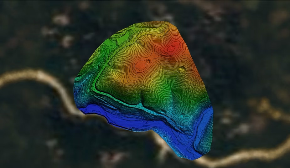
Civil and Surveying
High-resolution Digital Elevation Models (DEMs)
Contour maps for site planning
Surface & terrain analysis
Utility and roadway mapping
Deliver high-accuracy topographic maps, digital elevation models, and geospatial data that streamline surveying workflows, reduce field time, and support smarter design decisions.
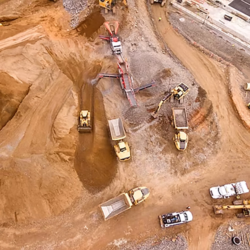
Construction
Monitor progress and maintain project accuracy with frequent LiDAR scans.
As-built verification models
Cut/fill calculations
Stockpile volumes
Change detection over time
Mining & Aggregates
Improve safety and operational efficiency with precise mine and quarry data.
Volumetric stockpile reports
Pit wall and slope stability analysis
Detailed surface TINs/contours
Production tracking
Environmental & Natural Resources
Generate accurate terrain and vegetation data to support conservation and land management.
Vegetation height models
Floodplain mapping
Erosion and watershed studies
Habitat and forestry analysis
Inspection FAQs
Get answers to the most common questions about aerial inspections — from capture workflows and data accuracy to deliverables and safety.
How quickly will I get inspection results?
.svg)
What deliverables will I receive?
Is it safe to fly near active infrastructure?
How detailed is the inspection imagery?
What types of assets can be inspected?
IT STARTS NOW
Transform your ideas into results
Share your vision with us, and we’ll create the path to make it real.
Thank you! Your submission has been received!
Oops! Something went wrong while submitting the form.