
.svg)
Survey-Ready Drone Deliverables
Survey-grade outputs ready for CAD, GIS, and real-world workflows.
CAD-Ready Terrain
High-fidelity digital terrain models prepared for immediate use in CAD and GIS software. Cleaned, classified, and aligned surfaces support grading, drainage, and engineering design without additional processing.
View CAD-Ready Terrain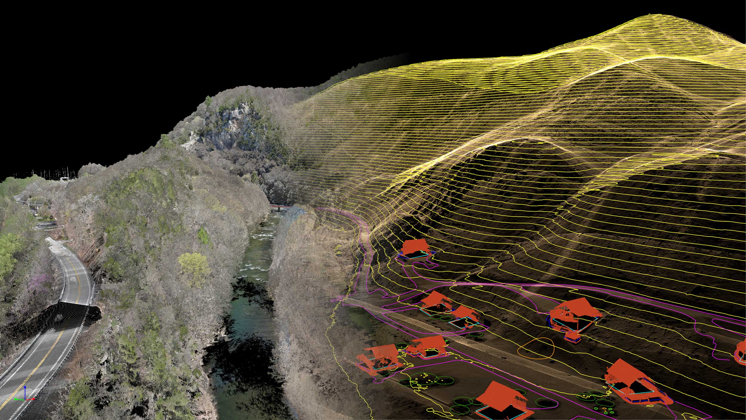
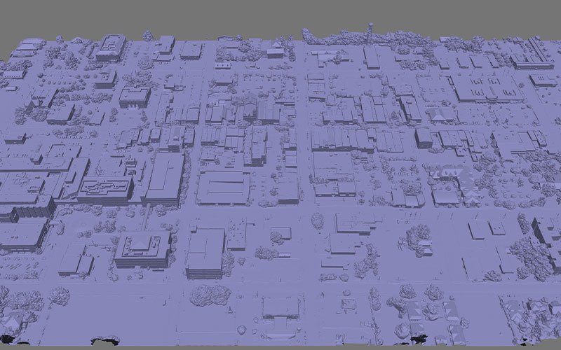
Orthomosaics
High-resolution, georeferenced aerial imagery stitched into a single accurate map. Ideal for site documentation, planning, inspections, and visual analysis across construction, surveying, and environmental projects.
Explore OrthomosaicsPlanimetrics
Precise 2D vector mapping of visible site features such as roads, utilities, structures, and boundaries. Delivered in CAD-ready formats for drafting, documentation, and infrastructure planning.
View Planimetrics
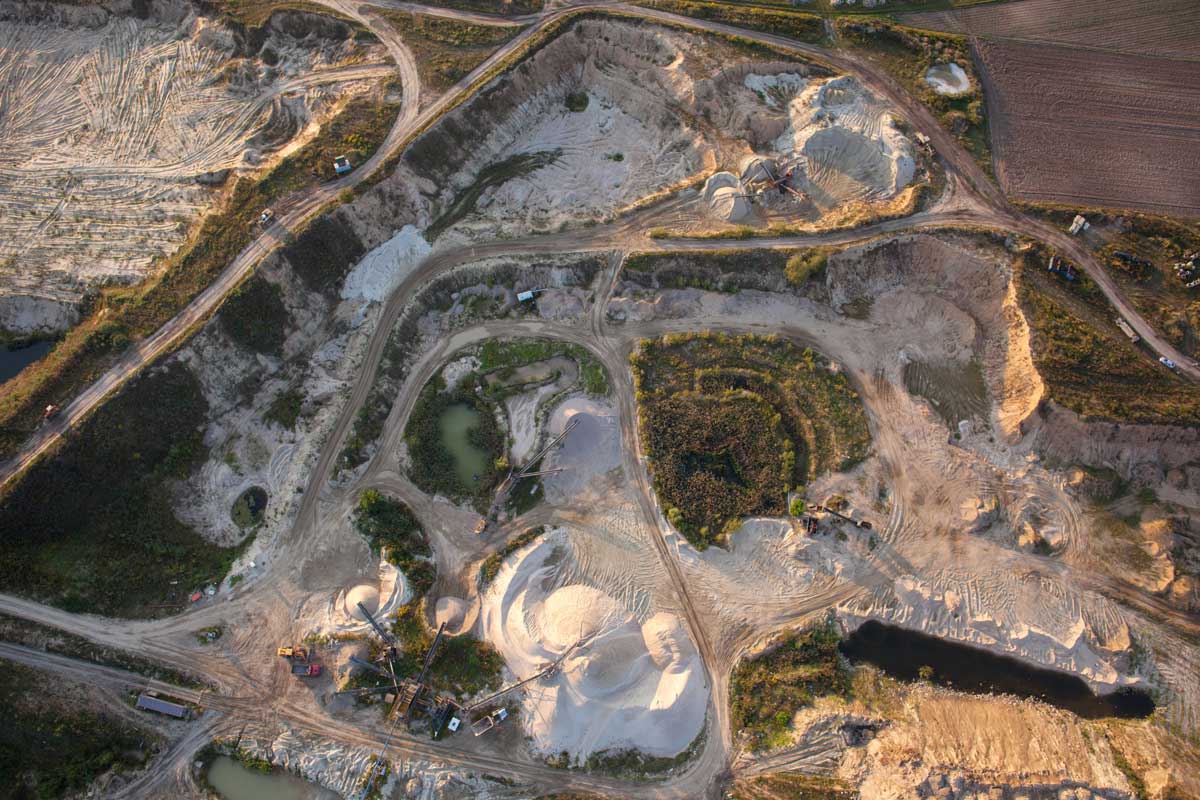
Volumetrics
Accurate volume calculations derived from 3D surface models. Measure stockpiles, cut/fill quantities, and material changes with confidence to support construction tracking, mining operations, and earthwork planning.
Explore VolumetricsIT STARTS NOW
Transform your ideas into results
Share your vision with us, and we’ll create the path to make it real.
Thank you! Your submission has been received!
Oops! Something went wrong while submitting the form.