
.svg)
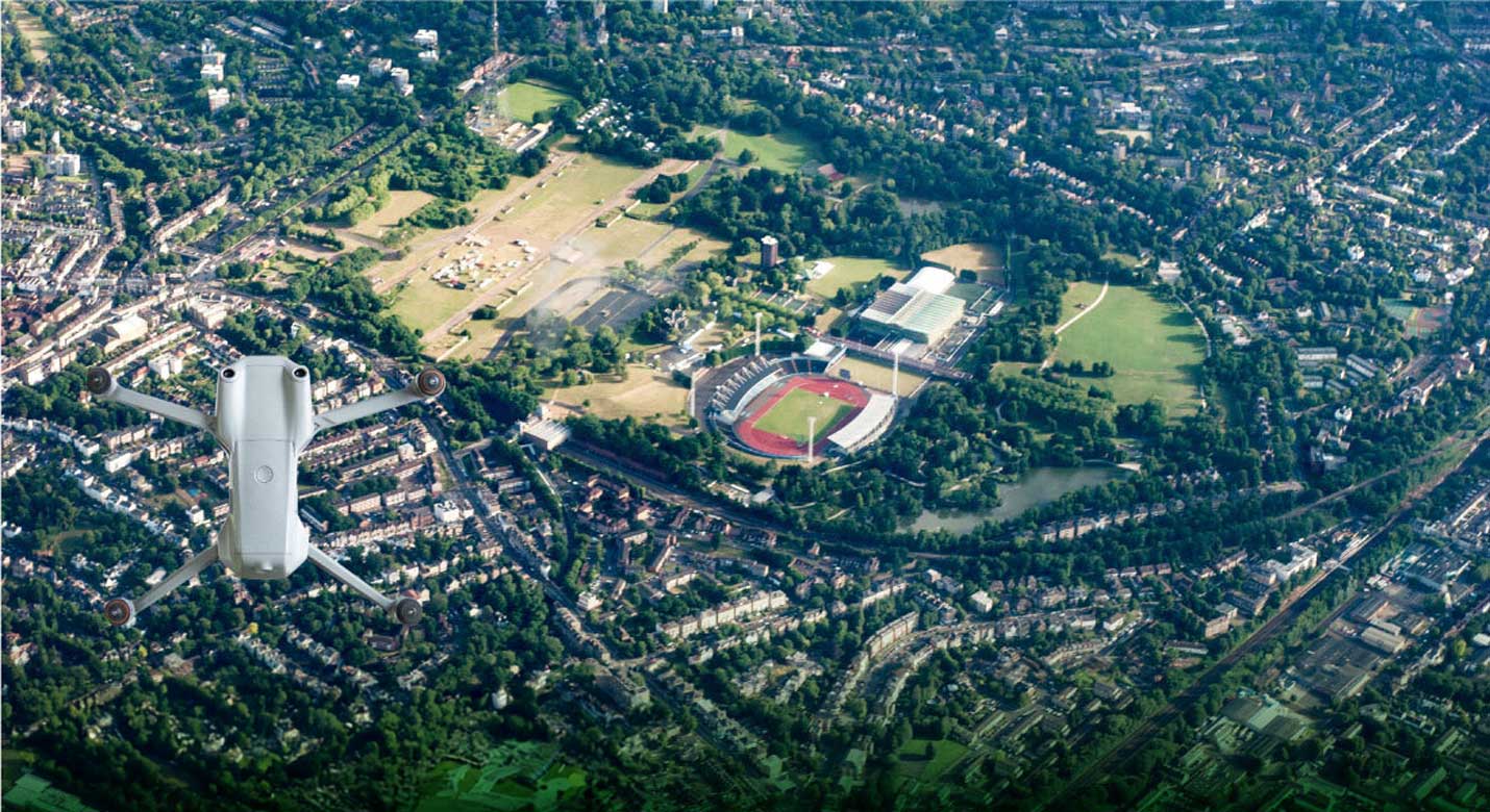
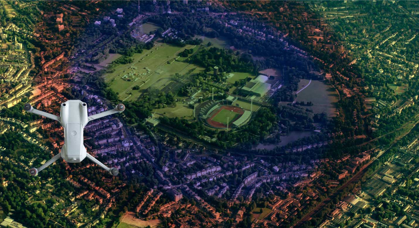
Visualize Your Project Like Never Before
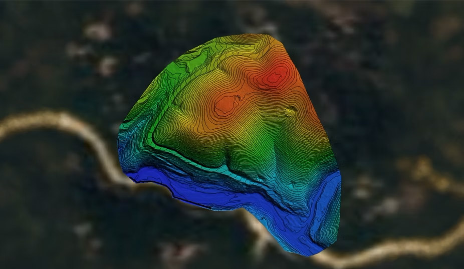
High-Resolution Photogrammetry for Accurate Site Modeling

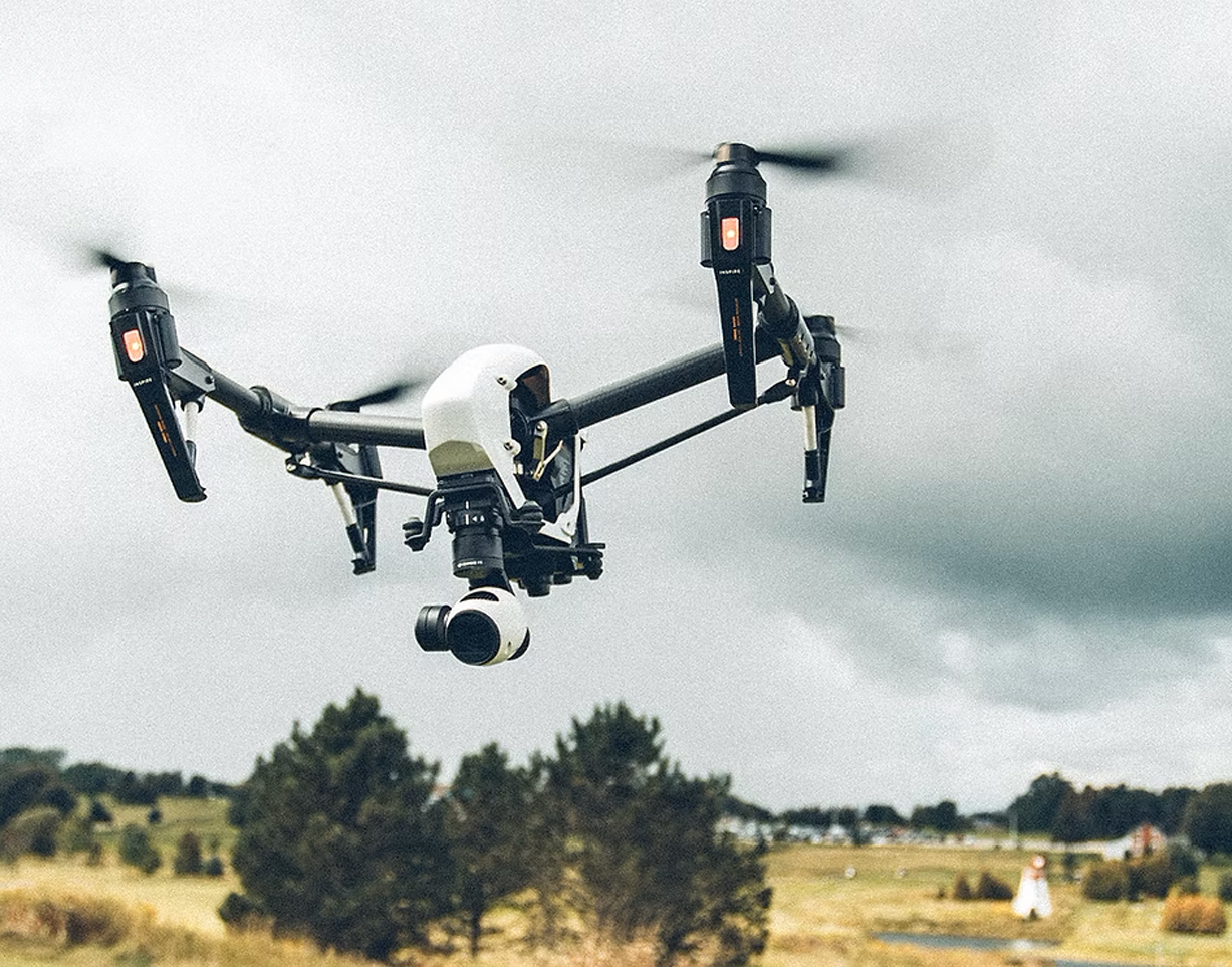
Pixel Pro
Pixel Pro is our full service, end-to-end aerial photogrammetry/mapping solution. From field work and data capture, to processing and feature extraction, we deliver data that your project needs every time.
Request a Flight Plan
Why Pixel Pro
Time Efficiency
Aerial mapping is able to cover a large area in a short amount of time. With Databird Solutions quick processing you can have your data in days, not weeks.

Cost Effective
Photogrammetry offers a more affordable way to generate accurate maps and 3D models using lightweight equipment, making it ideal for projects that demand quality without added cost.

High-Resolution Imagery
Capture crisp, high-resolution images that can be transformed into orthomosaics, 3D meshes, and elevation models—keeping your site data up-to-date and visually clear.

Accurate Data
Deliverables are georeferenced and include accuracy reports, giving you reliable datasets you can trust for planning, monitoring, and compliance.
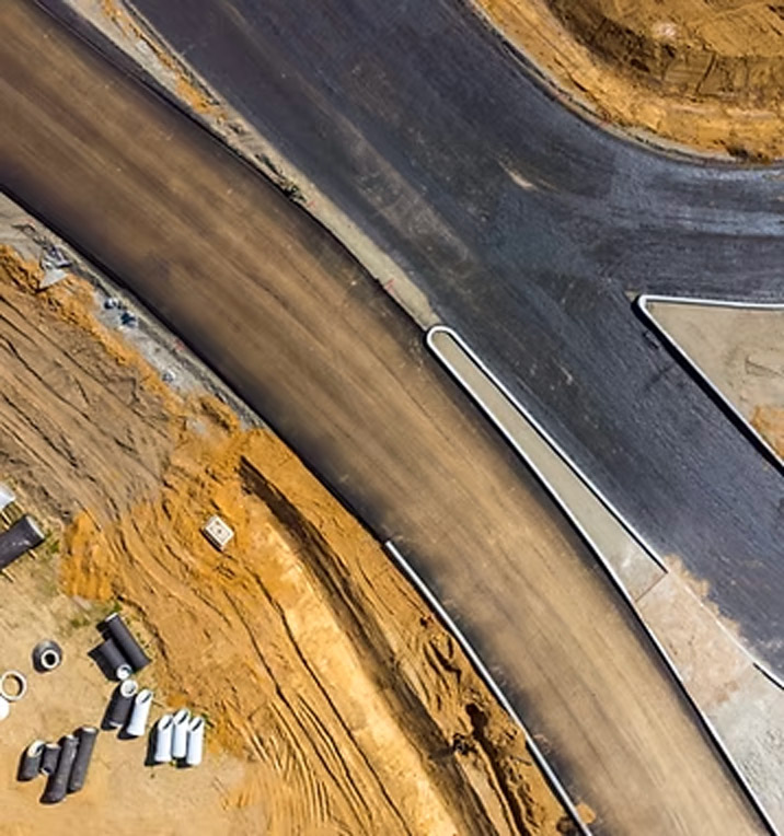
Civil & Surveying
Capture large sites with survey-grade accuracy to support planning, design, and compliance.
.png)
High-resolution Digital Elevation Models (DEMs)
Contour maps for site planning
Surface & terrain analysis
Utility and roadway mapping
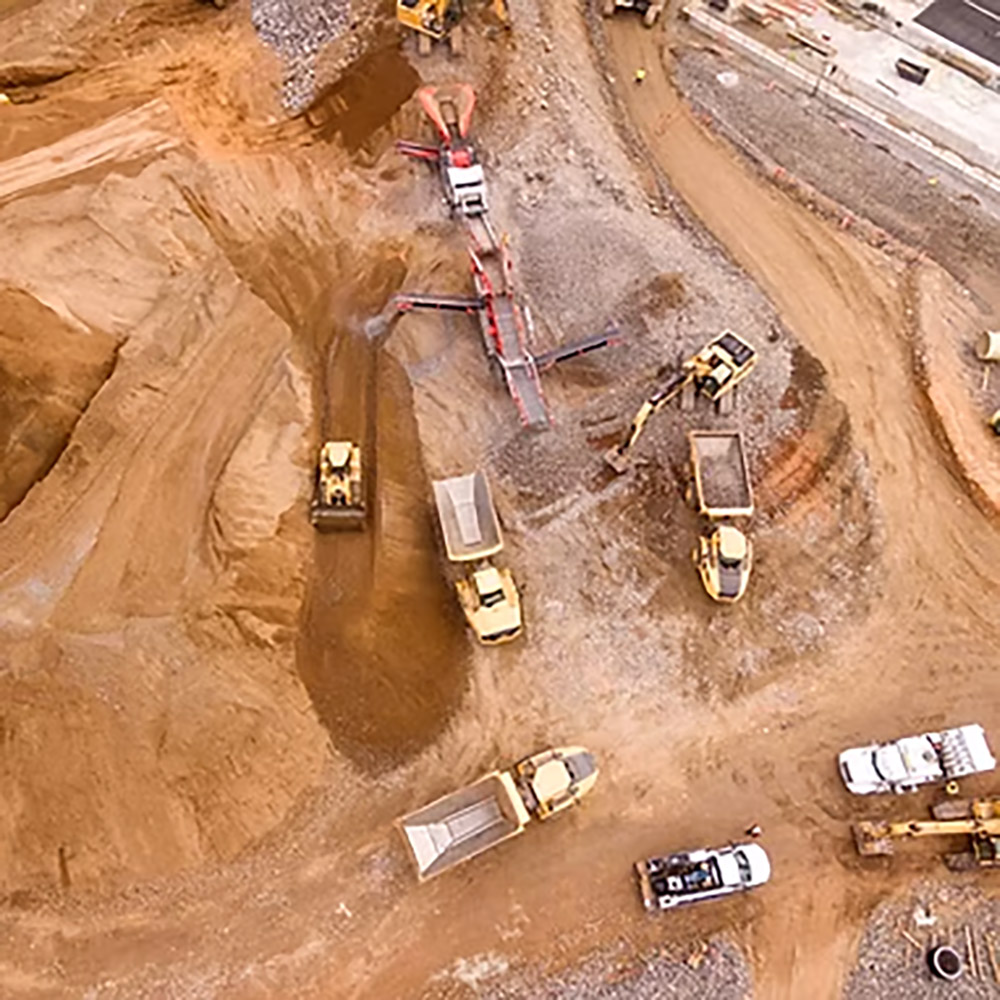
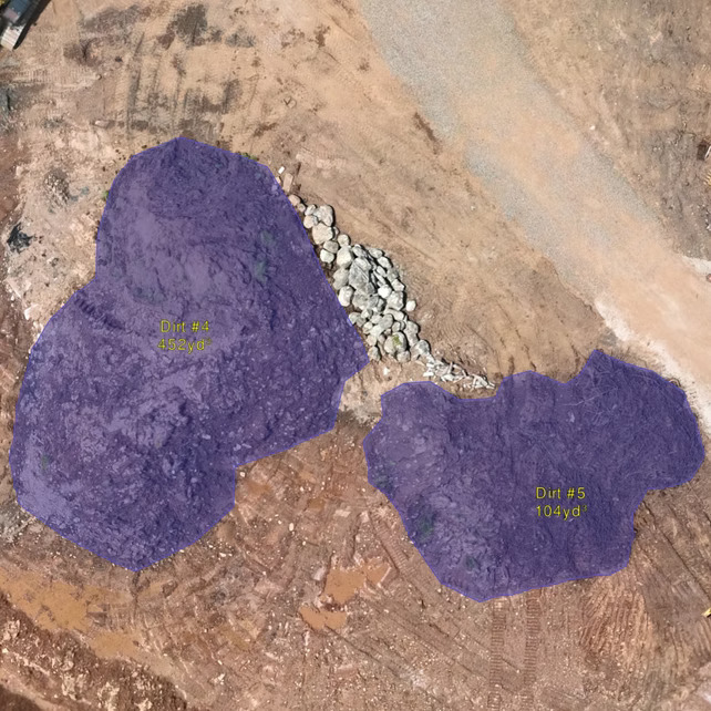
Construction
Monitor progress and maintain project accuracy with frequent LiDAR scans.
As-built verification models
Cut/fill calculations
Stockpile volumes
Change detection over time
Mining & Aggregates
Improve safety and operational efficiency with precise mine and quarry data.
Volumetric stockpile reports
Pit wall and slope stability analysis
Detailed surface TINs/contours
Production tracking
Environmental & Natural Resources
Generate accurate terrain and vegetation data to support conservation and land management.
Vegetation height models
Floodplain mapping
Erosion and watershed studies
Habitat and forestry analysis
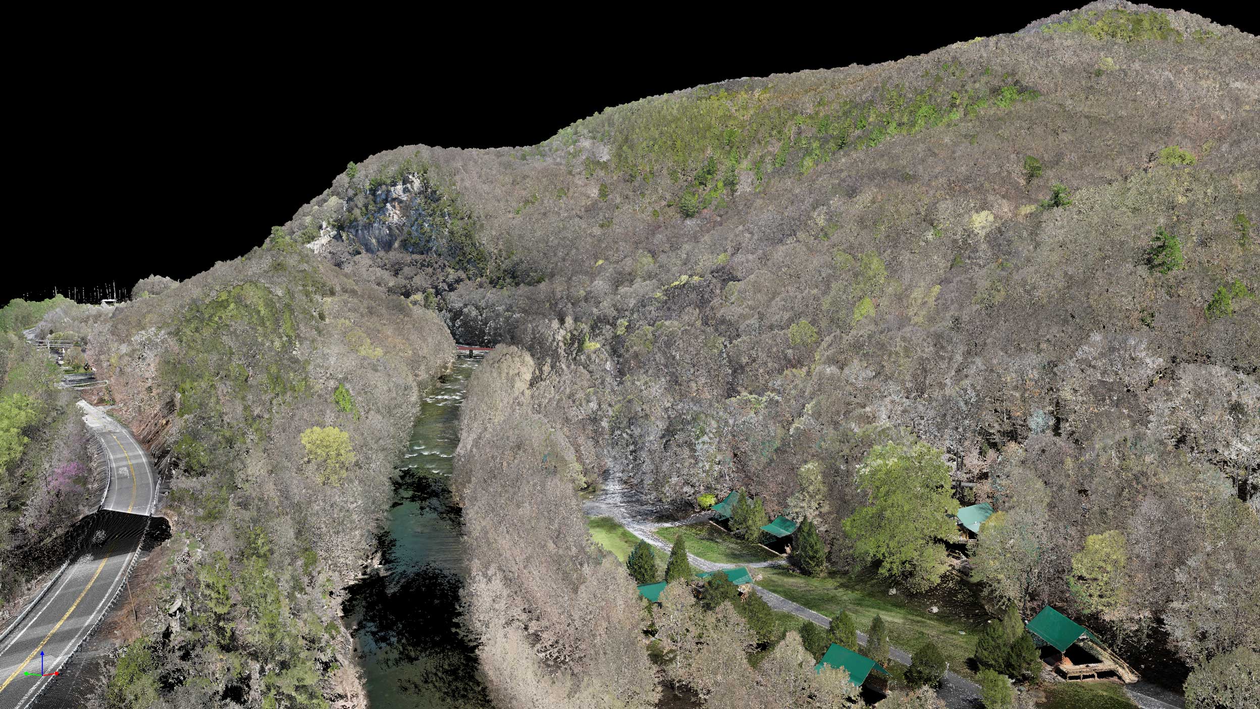
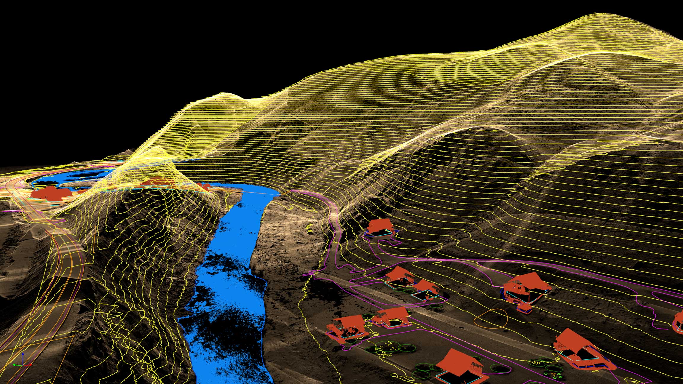
Photogrammetry for Surveying
Leveraging photogrammetry for surveying delivers high-resolution imagery and accurate 3D models, providing a cost-effective solution for a wide range of sites.
True-Position Orthomosaic
- Perfect nadir view with zero lean or distortion
- Accurate horizontal measurements of all features
- Survey-grade positioning for CAD and GIS
3D Perspective View
- Shows true height and dimension of structures
- Ideal for visualization and inspection
- Reveals clearances and spatial relationships
Notice the difference: buildings and terrain that appear tilted in traditional orthomosaics are positioned perfectly vertical in Databird Photogrammetry—because we use the actual 3D LiDAR model to place every pixel.
Photogrammetry at Any Scale
From focused sites to regional surveys—one workflow.
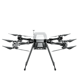
multicopter drone
100’s acres
Efficient capture with multicopter drones for small-to-mid sized sites.
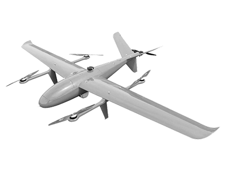
VTOL drone
1000’s acres
Efficient capture with multicopter drones for small-to-mid sized sites.
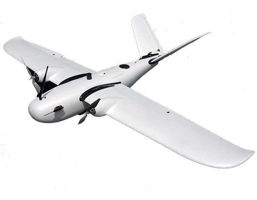
Airplane drone
10,000’s acres
Efficient capture with multicopter drones for small-to-mid sized sites.
How We Build Your Site Model
The photogrammetry process that powers your project. See exactly how your data becomes action.
01
Step_01
Mission Planning & Preparation
Start with a clear understanding of project goals and site conditions. Using Pixel Pro Photogrammetry, our team defines image resolution, flight altitude, and overlap requirements to ensure complete coverage. Careful planning sets the foundation for accurate, high-quality 3D modeling.
02
Step_02
Data Capture
Execute the planned mission using high-resolution RGB sensors. Pixel Pro captures thousands of overlapping images with precise control of altitude, speed, and camera angle—transforming every pixel into measurable data for mapping, visualization, and analysis.
03
Step_03
Processing Data
Captured imagery is processed through Pixel Pro’s advanced photogrammetry workflow to align photos, detect tie points, and generate dense 3D point clouds. From there, we create orthomosaics, 3D textured meshes, DSM/DTM models, and volumetric reports that are spatially accurate and ready for GIS integration.
04
Step_04
Feature Extraction & Insight
From the processed outputs, Pixel Pro identifies and extracts critical site features—structures, terrain, and vegetation. These models deliver precise data and visual context for surveying, construction, mining, and environmental monitoring, empowering confident, data-driven decisions.
IT STARTS NOW
Transform your ideas into results
Share your vision with us, and we’ll create the path to make it real.
ContactIndustries
Civil and Surveying
Deliver high-accuracy topographic maps, digital elevation models, and geospatial data that streamline surveying workflows, reduce field time, and support smarter design decisions.
High-resolution Digital Elevation Models (DEMs)
Contour maps for site planning
Surface & terrain analysis
Utility and roadway mapping
Construction
Monitor progress and maintain project accuracy with frequent LiDAR scans.
As-built verification models
Cut/fill calculations
Stockpile volumes
Change detection over time
Mining & Aggregates
Improve safety and operational efficiency with precise mine and quarry data.
Volumetric stockpile reports
Pit wall and slope stability analysis
Detailed surface TINs/contours
Production tracking
Environmental & Natural Resources
Generate accurate terrain and vegetation data to support conservation and land management.
Vegetation height models
Floodplain mapping
Erosion and watershed studies
Habitat and forestry analysis
Photogrammetry FAQs
Get answers to the most common questions about aerial photogrammetry, from accuracy and cost to deliverables and turnaround time.
What deliverables will I receive?
.svg)
How fast can I get results with Pixel Pro?
What makes Pixel Pro different from LiDAR?
How accurate is Pixel Pro Photogrammetry?
What is Pixel Pro Photogrammetry?
IT STARTS NOW
Transform your ideas into results
Share your vision with us, and we’ll create the path to make it real.
Thank you! Your submission has been received!
Oops! Something went wrong while submitting the form.