
.svg)
Comprehensive UAV Data Solutions
Aerial Services for Every Industry
LiDAR Pro
LiDAR Pro is our full service, end-to-end aerial LiDAR mapping solution. From field work and data capture, to processing and feature extraction, we deliver data that your project needs every time.
Explore LiDAR Pro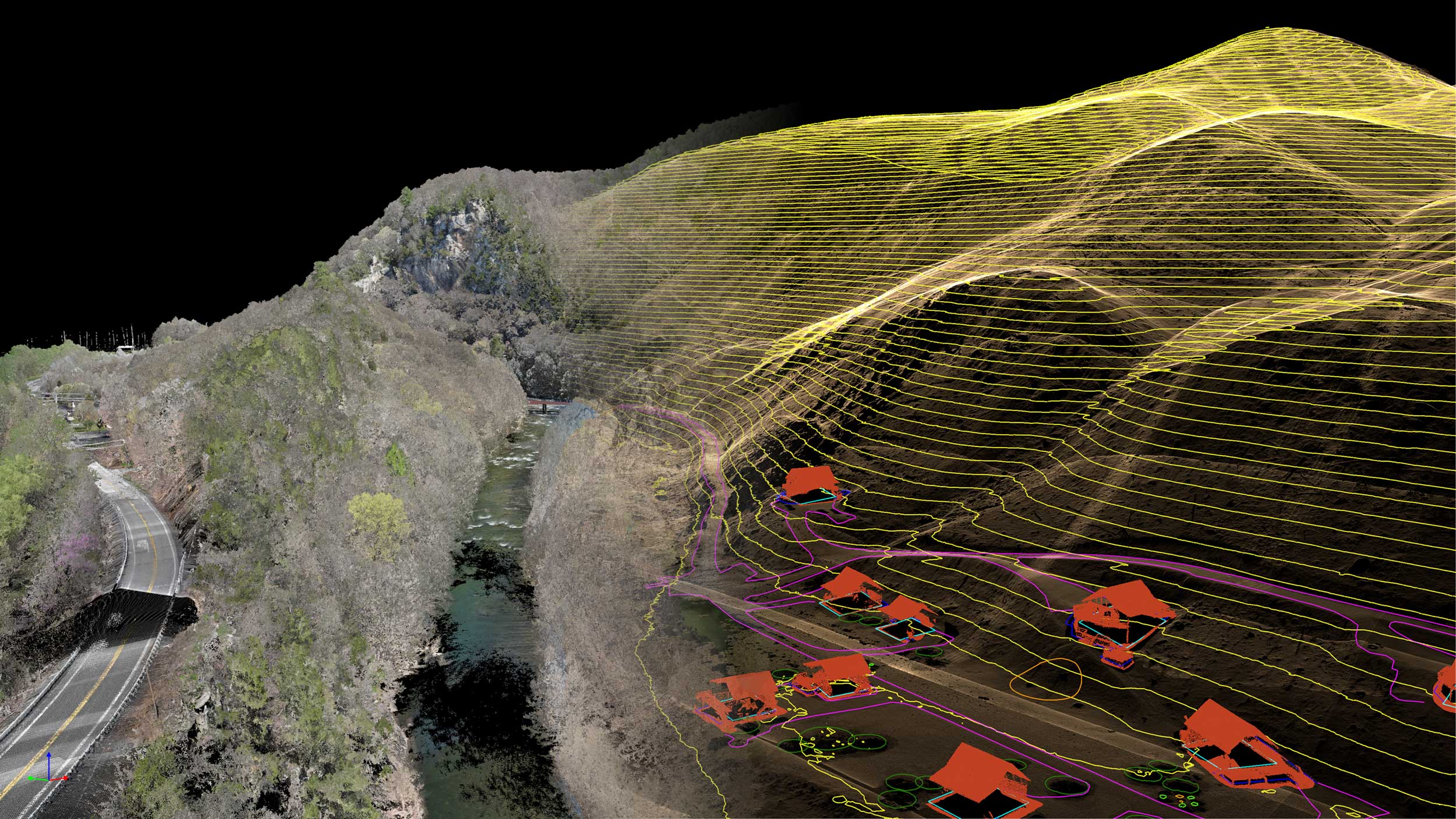
Pixel Pro
Pixel Pro is our full service, end-to-end aerial photogrammetry/mapping solution. From field work and data capture, to processing and feature extraction, we deliver data that your project needs every time.
Explore Pixel ProData Pro
Data Pro handles every stage of your data refinement—from alignment and georeferencing to advanced point cloud processing, surface modeling, and analytics. Our team ensures every output is accurate, consistent, and optimized for actionable insight.
Explore Data Pro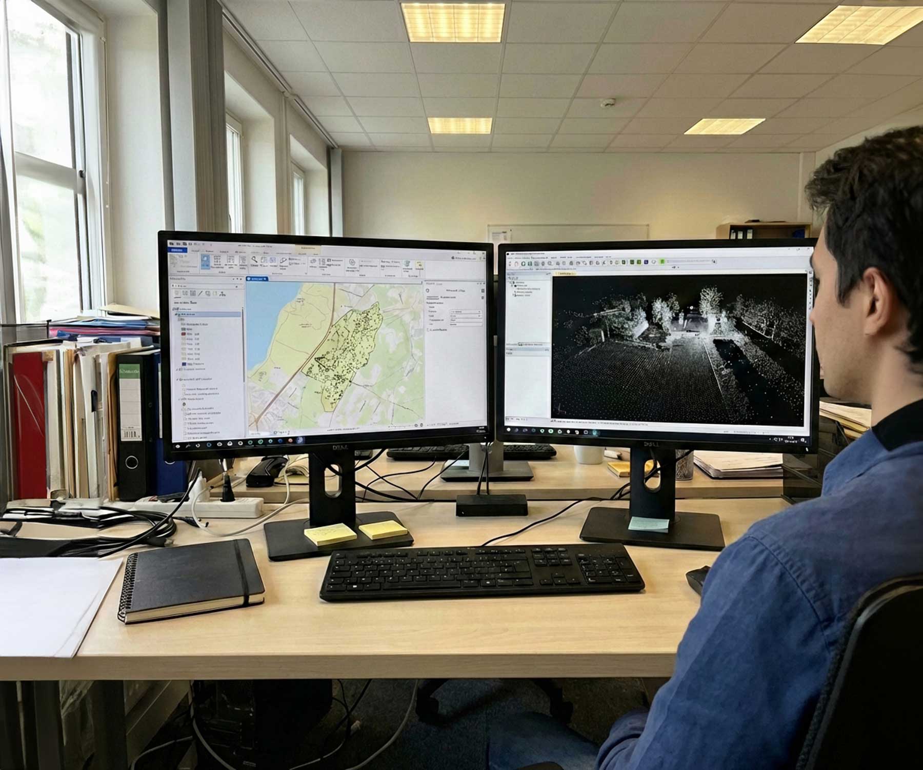
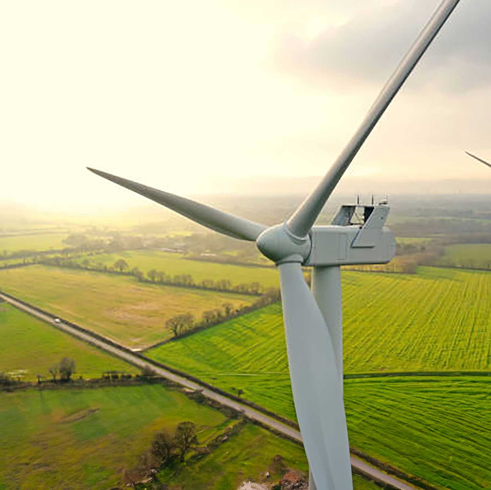
UAV Inspections
From bridges and wind turbines to active construction sites, Inspect Pro turns aerial imagery into measurable insights. We process, analyze, and visualize every dataset to help you detect structural issues early and maintain critical assets with confidence.
Explore UAV InspectionsProgress Monitoring
High-resolution aerial imagery gives you a complete picture of your project’s progress. From earthwork to final build, track updates, verify milestones, and share visual reports that keep everyone aligned.
Explore Progress Monitoring
IT STARTS NOW
Transform your ideas into results
Share your vision with us, and we’ll create the path to make it real.
Thank you! Your submission has been received!
Oops! Something went wrong while submitting the form.