
.svg)
Drone Technology in Construction
How Drones Are Reshaping the Construction Industry
Drones are transforming how construction projects are planned, monitored, and delivered. By capturing real-time aerial data, they provide teams with powerful insights that improve efficiency, accuracy, and communication across every stage of development.
Site Mapping and Topographic Surveys
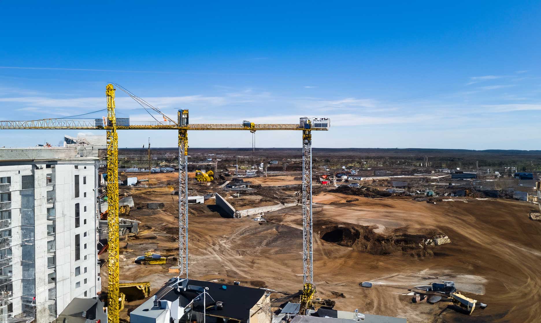
High-resolution drone imagery creates precise topographic maps and 3D models used for planning and design. This replaces time-intensive manual surveys and ensures project teams start with accurate site data.
Progress Monitoring and Reporting
Frequent drone flights allow teams to document project progress, compare current conditions to design plans, and share visual updates with stakeholders. This improves accountability and helps keep projects on schedule.
Safety and Risk Management
Drones reduce the need for workers to enter hazardous areas by remotely inspecting scaffolding, roofs, or excavation zones. Their ability to assess hard-to-reach locations enhances overall job site safety.
Material Tracking and Inventory Control
Drone imagery supports efficient material management by providing up-to-date views of stockpiles and equipment placement. Volume measurements can be calculated quickly to prevent shortages or overordering.
Improving Collaboration and Communication
Aerial data helps align architects, engineers, and contractors with a shared visual reference. Drones make it easier to resolve design conflicts, verify site conditions, and communicate progress clearly with clients.
The Future of Drones in Construction
As automation, AI, and real-time analytics advance, drones will become fully integrated into construction workflows. They will not only collect data but also interpret it—driving smarter, faster, and safer projects from planning to completion.