
.svg)
Drones in Agriculture
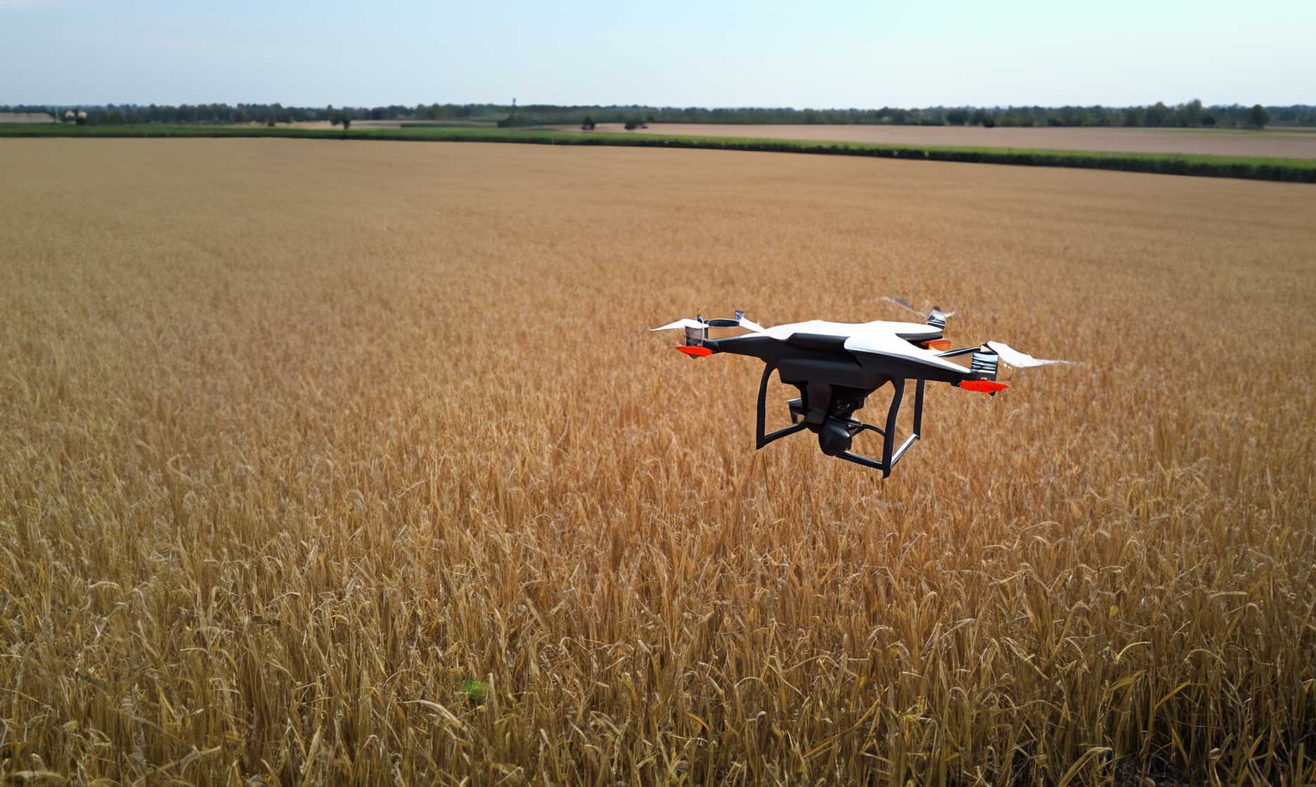
How Drones Are Transforming Modern Agriculture
Drones are redefining the future of farming by giving growers the ability to see, measure, and manage their fields from above. With aerial imagery, advanced sensors, and automated data processing, drones help farmers make smarter decisions that boost yield, reduce waste, and improve sustainability.
Precision Agriculture and Data-Driven Decisions
The foundation of drone-based agriculture lies in precision. High-resolution imagery and multispectral sensors capture real-time data about crop health, soil conditions, and water distribution. Farmers can identify stress areas before they become visible to the naked eye, leading to earlier intervention and better outcomes.
Identifying Crop Stress and Disease
Drones equipped with infrared and NDVI sensors reveal subtle changes in vegetation. These patterns highlight disease, pest infestations, or nutrient deficiencies early—helping farmers take targeted actions instead of treating entire fields.
Reducing Resource Waste
By pinpointing where fertilizer, pesticide, or irrigation is truly needed, drone analytics help reduce input costs and environmental impact while maintaining consistent crop quality.
Aerial Mapping and Field Monitoring
Regular aerial mapping gives farmers a complete, measurable record of their fields throughout the growing season. Drone imagery provides centimeter-level accuracy for plant density counts, crop height measurement, and soil erosion monitoring.
Time-Series Analysis for Growth Trends
Tracking changes over time allows growers to measure crop performance, compare yield zones, and make data-backed adjustments to planting strategies. This approach improves forecasting and supports smarter long-term planning.
Irrigation and Soil Management
Water management is one of agriculture’s biggest challenges, especially in large or remote areas. Drones equipped with thermal cameras can identify dry patches, leaks, and uneven irrigation patterns that lead to poor growth.
Supporting Sustainable Farming Practices
With precise water usage data, farmers can implement irrigation schedules that reduce runoff and improve soil health. Over time, this reduces resource strain and promotes environmentally responsible farming.
Crop Spraying and Aerial Application
Sprayer drones are now capable of carrying and distributing liquid fertilizers and pesticides autonomously. They cover vast areas efficiently while minimizing operator exposure and chemical drift.
Increased Efficiency and Worker Safety
Automated flight paths ensure uniform coverage, while altitude sensors maintain safe, consistent distances from crops. The result is a more efficient, accurate, and safer method of field application.
Harvest Planning and Yield Estimation
As harvest season approaches, drones help determine the best timing for collection and logistics. By analyzing color variation and biomass data, farmers can estimate yields and schedule equipment use effectively.
Integrating Drone Data with Farm Management Systems
Modern farm software platforms can ingest drone data directly, syncing aerial insights with ground-based observations. This unified data ecosystem allows for predictive modeling and precise planning year after year.
The Future of Agricultural Drones
The next generation of agricultural drones will feature autonomous swarming, AI-driven diagnostics, and real-time data uploads to the cloud. Combined with IoT sensors and weather modeling, these systems will transform farming into a fully connected, automated network.
Toward Smarter and More Sustainable Agriculture
From small family farms to global agricultural operations, drones enable better outcomes for both productivity and sustainability. They’re not just tools—they’re an integral part of a smarter, data-driven agricultural future.