
.svg)
Drone Surveying in Action
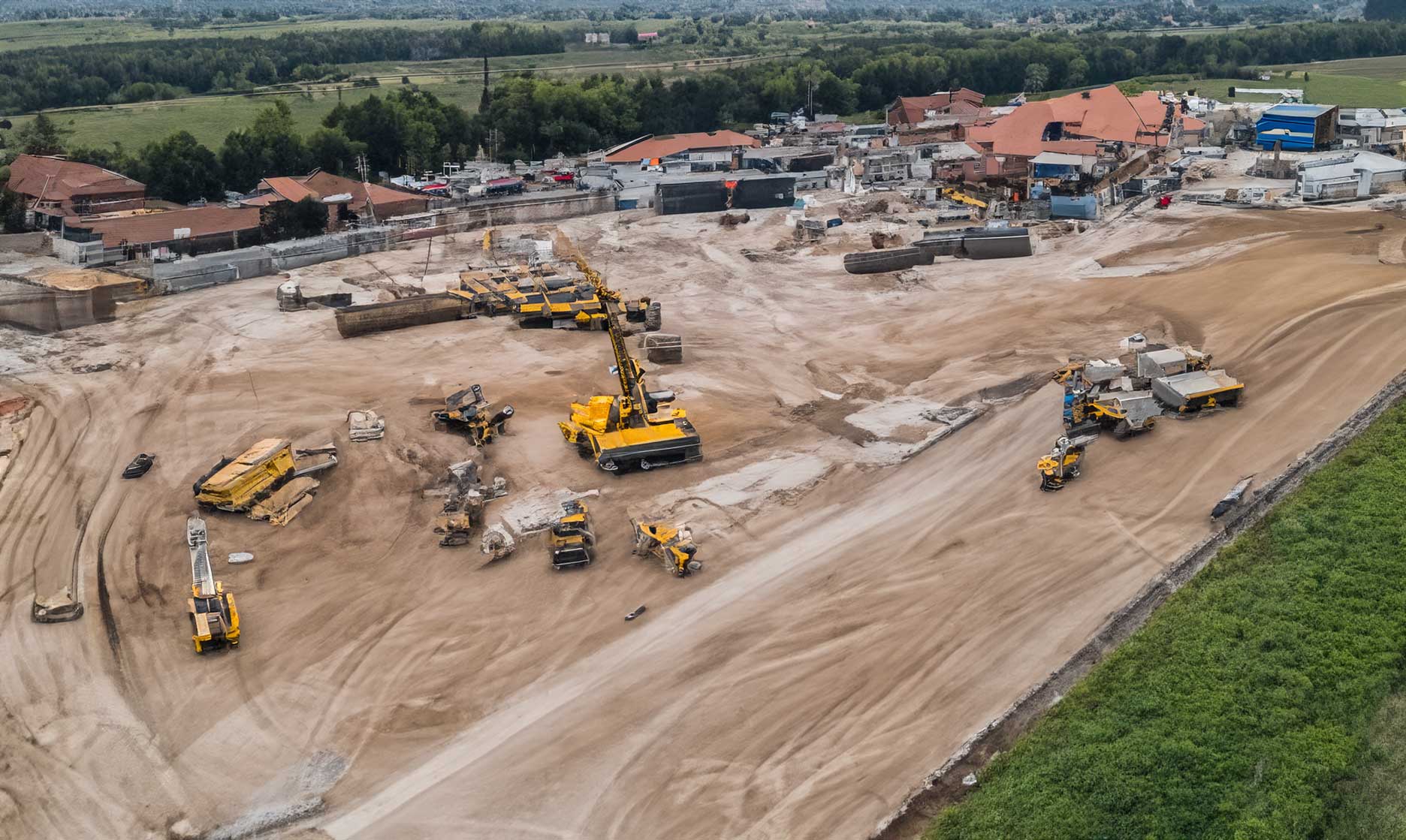
Drone Surveying in Action
Drone surveying is rapidly becoming the industry standard for large-scale site assessment. This case study highlights how aerial data collection streamlined a recent construction project, improving accuracy, reducing field time, and enhancing overall efficiency.
Project Overview
The project involved surveying a multi-acre construction site that required detailed elevation mapping and volume analysis. Traditional ground methods would have taken several days and required significant manpower. By deploying drones, the survey team completed the capture in a fraction of the time while maintaining exceptional accuracy.
Objectives of the Survey
- Create a detailed topographic model of the entire site
- Measure cut-and-fill volumes for earthwork planning
- Provide updated visual documentation for stakeholders
Methodology and Data Capture
The survey team used high-resolution photogrammetry drones equipped with RTK GPS for centimeter-level precision. Automated flight paths ensured consistent coverage, while ground control points (GCPs) validated spatial accuracy.
Processing and Modeling
Captured imagery was processed using drone mapping software to generate orthomosaic maps, 3D terrain models, and contour lines. The resulting dataset allowed engineers to perform precise calculations and compare site progress over time.
Key Findings and Results
The project demonstrated a significant improvement in both efficiency and data reliability compared to manual methods.
Time Savings
Data collection that once took three days on foot was completed in under two hours. Processing and analysis were finalized within the same day, allowing for faster project decisions.
Accuracy and Consistency
The final survey achieved accuracy within two centimeters—sufficient for grading, planning, and compliance reporting. The consistent results allowed stakeholders to trust drone data as a reliable reference point throughout construction.
Benefits for Construction Teams
Drone surveying provided not just speed, but visibility. Stakeholders could visualize progress through 3D models and imagery accessible in the cloud, enabling remote collaboration between engineers, project managers, and clients.
Cost Reduction and Safety
Fewer on-site hours meant lower labor costs and less exposure to potential hazards, reinforcing drones as both an economical and safer alternative to traditional surveying.
Lessons Learned and Future Applications
This project confirmed that drone surveying can deliver scalable results across industries. As drone sensors, flight control, and software analytics continue to evolve, their role in construction, infrastructure, and environmental projects will only expand.