
.svg)
Environmental Insights from Drone Data
The Role of Drones in Environmental Monitoring
Drones are transforming environmental research by providing access to areas that are difficult or dangerous to reach. Their ability to capture detailed aerial imagery and sensor data gives scientists, conservationists, and policymakers a clearer understanding of ecosystems and environmental change.
Mapping and Tracking Ecosystem Changes
With high-resolution cameras and multispectral sensors, drones can monitor vegetation growth, deforestation, erosion, and habitat loss over time. This data helps detect early signs of environmental stress and supports long-term sustainability planning.
Supporting Conservation and Wildlife Protection
Drones assist in tracking animal populations, monitoring migration routes, and identifying illegal activities such as poaching or deforestation. Aerial observations reduce the need for intrusive monitoring methods, minimizing disruption to natural habitats.
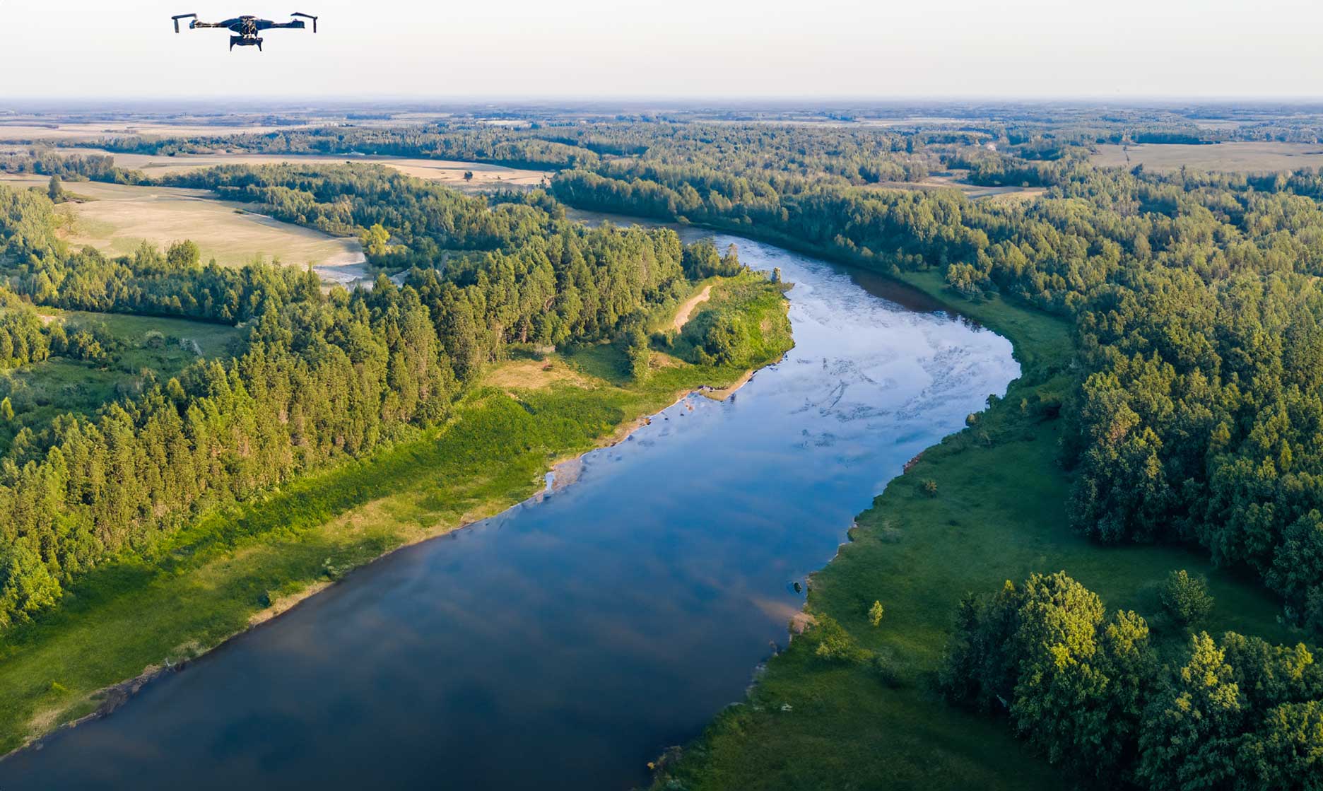
Analyzing Water Resources and Land Use
Aerial surveys help environmental teams monitor water quality, sediment flow, and land-use changes around rivers, wetlands, and coastlines. These insights are crucial for managing flood risks and maintaining ecosystem balance.
Disaster Assessment and Climate Impact Studies
After natural disasters like floods or wildfires, drones provide rapid assessments that guide recovery and restoration. Thermal and LiDAR sensors help evaluate soil stability, vegetation loss, and potential erosion zones affected by extreme weather.
The Future of Drone-Based Environmental Analysis
As drone sensors and analytics improve, data accuracy and automation will continue to advance. Integrating drone data with GIS platforms and AI models will enable real-time environmental monitoring at regional and global scales.