
.svg)
Drone Analytics for Business
The Role of Drone Analytics in Modern Business
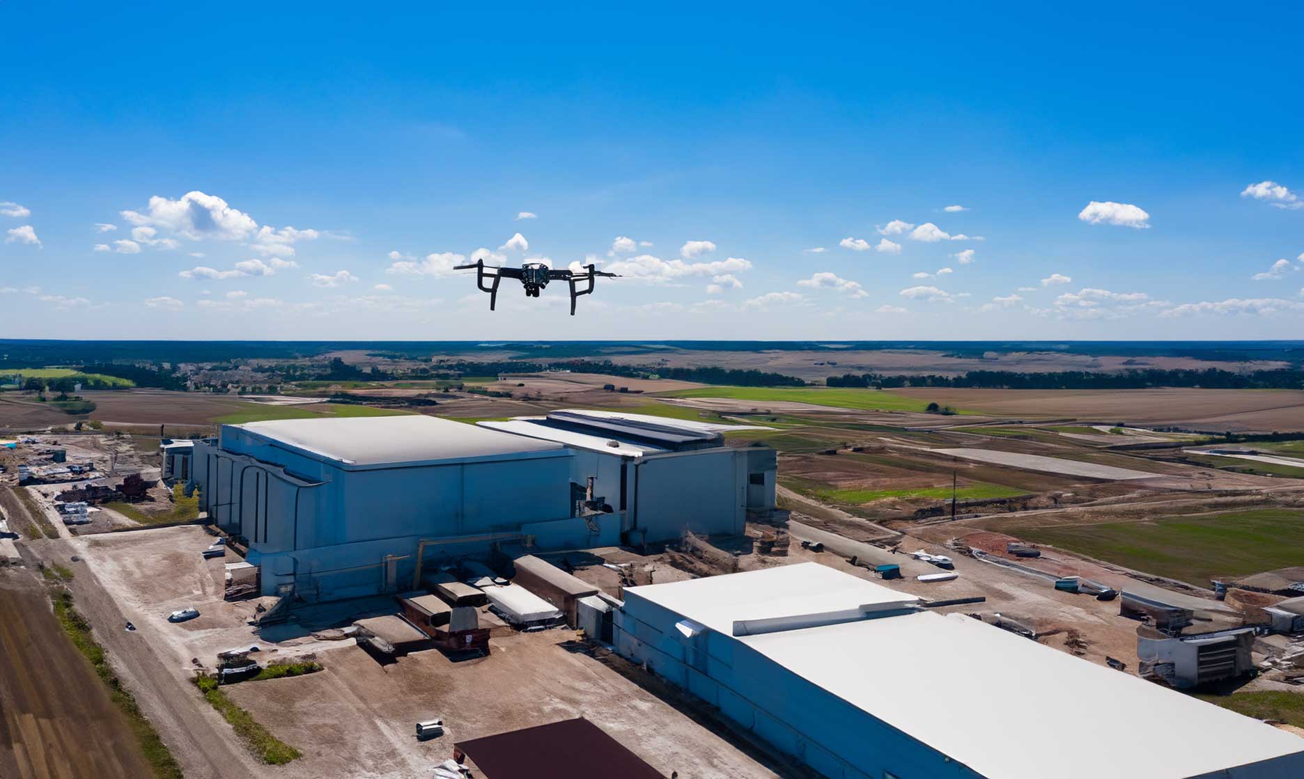
Drones have become powerful data tools for companies across industries. Beyond aerial imagery, they deliver measurable insights that improve efficiency, reduce risk, and guide better decisions. From construction to energy, drone analytics converts complex visual data into clear business intelligence.
From Imagery to Insights
The strength of drone analytics lies in transforming photos and sensor data into usable metrics. 2D maps, 3D models, and dashboards help teams measure progress, track assets, and identify potential issues long before they become costly problems.
Real-Time Visibility
Cloud-based platforms make aerial data accessible across teams, improving coordination and enabling faster, data-driven responses.
Industry Applications
Drone analytics supports multiple sectors through precision and automation.
- Construction – Track site progress, measure stockpiles, and verify grading with accuracy.
- Energy & Utilities – Detect equipment faults and monitor solar farms or pipelines with thermal imaging.
- Agriculture & Land Use – Assess crop health, irrigation, and environmental changes over time.
Smarter Decision-Making with Predictive Data
AI and machine learning extend drone analytics beyond observation. Predictive models can detect anomalies, forecast maintenance schedules, and guide smarter planning—all based on historical aerial data.
Integrating Drone Data into Operations
When connected to existing GIS or project management systems, drone analytics becomes part of daily workflows. Teams gain unified access to aerial intelligence, helping them plan, execute, and report with confidence.
The Future of Drone Intelligence
As automation and AI evolve, drones will deliver faster, more intelligent insights. Businesses adopting these tools today are building the data foundations for tomorrow’s competitive advantage.