
.svg)
The Future of Drone Technology
The Future of Drone Technology
As drone technology advances, its influence across industries continues to expand. From automation and AI-driven analytics to improved flight endurance and regulatory frameworks, drones are becoming essential tools for business, research, and infrastructure. The next decade will redefine how we capture, process, and act on aerial data.
Automation and AI Integration
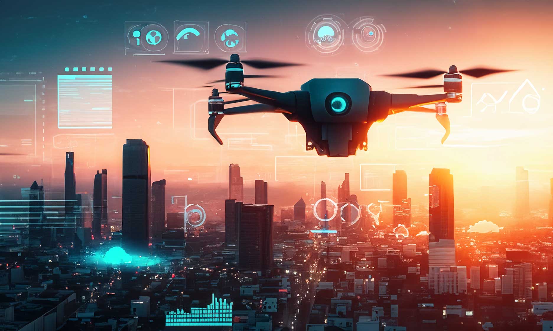
The future of drones lies in autonomy. Artificial intelligence and machine learning are enabling drones to fly, capture, and analyze data with minimal human input.
Smarter Flight Paths and Real-Time Analysis
Autonomous flight planning will allow drones to adjust routes in real time based on weather, obstacles, or mission objectives. Combined with onboard AI, they’ll process data instantly, turning raw imagery into actionable insights mid-flight.
Advanced Sensors and Data Precision
Next-generation sensors are increasing the quality and range of aerial data collection. LiDAR, hyperspectral, and thermal imaging are becoming lighter, more affordable, and more accurate.
These innovations will give industries—from agriculture to construction—unprecedented visibility and measurement capabilities.
High-Fidelity Mapping and Modeling
Improved imaging will support real-time 3D mapping, surface modeling, and volumetric analysis, helping businesses measure, plan, and maintain assets more efficiently.
Expanding Industry Applications
Drones are moving far beyond visual inspection. Their future includes autonomous delivery, emergency response, and advanced surveying across multiple sectors.
Infrastructure and Construction
Expect fully integrated drone workflows for construction monitoring, asset inspection, and site verification. Automated flight logs and real-time data dashboards will replace manual surveying.
Agriculture and Environmental Monitoring
AI-powered crop analysis, soil mapping, and environmental tracking will help farmers and conservationists make more sustainable, data-driven decisions.
Public Safety and Emergency Response
Future drones will assist responders with live situational mapping, search and rescue operations, and predictive disaster modeling—reducing risk and saving lives.
Regulation and Airspace Integration
As the number of drones in the sky grows, governments are developing unified airspace management systems. Remote ID standards, traffic management software, and real-time tracking will ensure safer, more coordinated operations.
The Path Forward
The future of drone technology is about intelligence, automation, and accessibility. Drones are evolving from data-capturing devices into autonomous decision-making systems that improve safety, sustainability, and efficiency across industries.