
.svg)
Photogrammetry in Drone Surveying
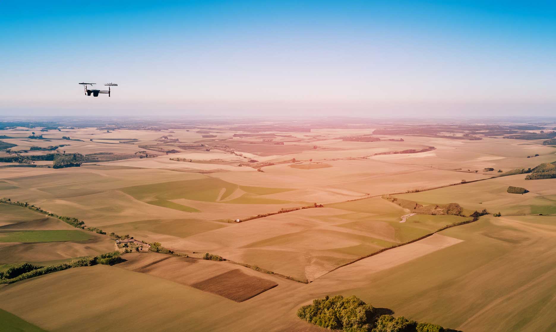
Understanding Photogrammetry in Drone Surveying
Photogrammetry is the process of capturing overlapping aerial images and converting them into accurate, measurable 3D models and maps. In drone surveying, this technique transforms raw imagery into reliable spatial data that supports analysis, design, and decision-making across multiple industries.
How Photogrammetry Works
Drones equipped with high-resolution cameras capture hundreds of overlapping photos from above. Specialized software then processes these images using triangulation and computer vision to create georeferenced models that replicate the terrain and structures with centimeter-level precision.
Advantages of Drone-Based Photogrammetry
Drone photogrammetry delivers high accuracy while reducing survey time and field costs. It eliminates the need for manual measurements in challenging or hazardous environments, allowing teams to collect more data in less time.
Applications in Construction and Engineering
In construction, photogrammetry supports site planning, earthwork calculations, and progress monitoring. Engineers can use 3D models to measure volumes, detect design deviations, and share visual reports with stakeholders for better coordination.
Environmental and Land Management Uses
For environmental monitoring, photogrammetry enables detailed mapping of vegetation, erosion, and terrain changes. Regular drone surveys help track ecosystem health and assess the impact of land use or climate-related events over time.
Integrating Photogrammetry with GIS and CAD Systems
Processed models can be imported into GIS, CAD, or BIM platforms, where they serve as accurate basemaps for analysis and planning. This integration ensures that drone-derived data fits seamlessly into existing workflows.
The Future of Photogrammetry and Drone Technology
With advancements in AI and real-time processing, photogrammetry is becoming faster and more automated. As sensors and algorithms evolve, drone surveys will deliver near-instant 3D mapping results, enabling more dynamic and data-driven project management.