
.svg)
Drone Data for Urban Planning
How Drone Data Is Transforming Urban Planning
Urban planning depends on accurate, current data—and drones are now one of the fastest, most efficient tools for collecting it. Aerial imagery, 3D mapping, and geospatial analysis help planners visualize cities in real time, monitor growth, and make data-backed decisions for sustainable development.
Aerial Mapping for Smarter City Design
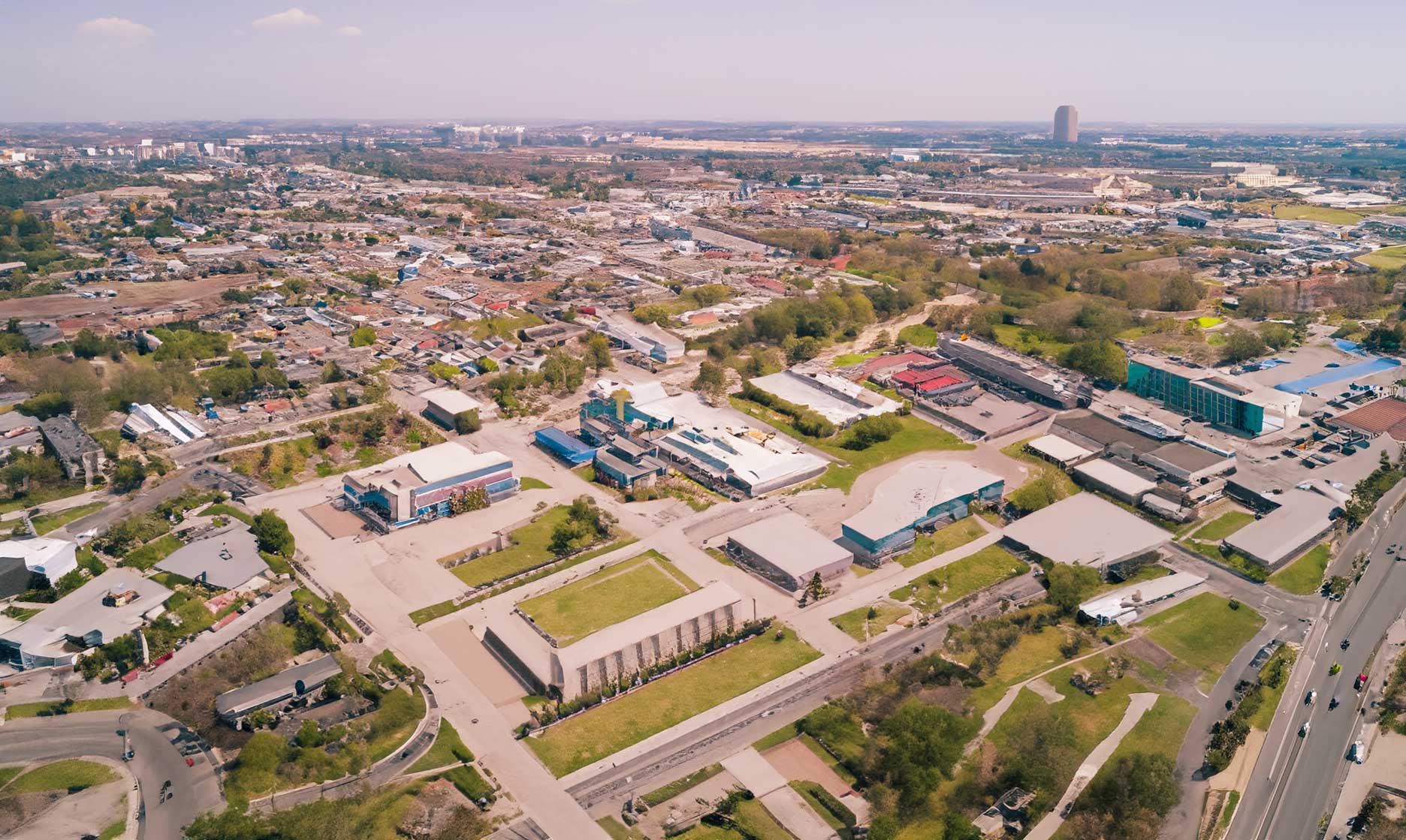
High-resolution drone imagery provides urban planners with a precise view of city layouts, road networks, and land-use patterns.
This data supports master planning, infrastructure design, and redevelopment projects with measurable accuracy.
Generating 3D Models and Digital Twins
Drones can quickly create 3D models and digital twins of urban environments. These models help visualize proposed developments, analyze shadowing, simulate traffic flow, and assess how new structures fit into existing cityscapes.
Monitoring Urban Growth and Land Use
With drones, planners can track changes in land use, vegetation, and construction progress. Frequent aerial surveys provide time-stamped data that supports zoning compliance and sustainable land management.
Detecting Unauthorized Construction and Encroachment
Drone imagery makes it easy to identify unapproved developments, illegal structures, or boundary violations—improving regulatory enforcement and transparency.
Infrastructure Inspection and Maintenance
Municipalities use drones to inspect roads, bridges, and utilities without disrupting daily traffic or requiring expensive equipment.
This improves safety and reduces the cost of routine monitoring.
Data-Driven Maintenance Planning
By combining drone imagery with GIS data, planners can prioritize repairs and infrastructure investments based on real, measurable conditions rather than assumptions.
Supporting Environmental and Sustainability Goals
Drones assist cities in monitoring environmental impact, mapping green spaces, and tracking stormwater runoff or heat islands. These insights guide policies that promote greener, more resilient cities.
The Future of Data-Driven Urban Planning
As drones integrate with AI and smart city systems, planners will gain instant access to dynamic, 3D urban intelligence. This shift toward automation and predictive modeling will redefine how cities are planned, built, and maintained.