
.svg)
Surveying Workflows with Drones
How Drones Are Streamlining Surveying Workflows
Drones have revolutionized the surveying process by reducing field time, increasing data accuracy, and improving overall project efficiency. Aerial surveying allows teams to capture high-resolution data quickly, safely, and consistently—transforming how projects are measured and managed.
Planning and Mission Setup
A successful drone survey begins with careful planning. Flight paths, altitude, and camera settings are defined based on site conditions and project requirements. Pre-survey planning ensures full coverage, proper image overlap, and compliance with airspace regulations.
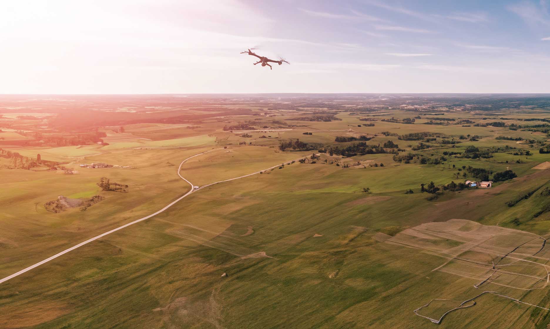
Data Capture and Flight Execution
Once the mission plan is set, drones follow automated flight paths to capture consistent, georeferenced imagery. Modern RTK and PPK drones enhance positional accuracy, eliminating the need for extensive ground control in many cases.
Processing and Data Modeling
Captured images are processed into orthomosaics, 3D point clouds, and elevation models using photogrammetry software. These outputs serve as the foundation for measurements, volume calculations, and progress tracking across industries.
Quality Assurance and Accuracy Checks
After processing, ground control points and checkpoints are used to validate accuracy. This verification step ensures that the drone survey meets required tolerances for engineering, construction, or mapping standards.
Integration with GIS and CAD Platforms
Drone-generated data can be directly imported into GIS, CAD, or BIM platforms, allowing seamless integration with existing workflows. This connection helps teams analyze terrain, plan designs, and monitor changes over time.
The Future of Surveying Automation
Advancements in AI and real-time processing are paving the way for autonomous surveying. Drones will soon be able to perform fully automated site scans and transmit usable data instantly, further increasing speed and reliability across surveying operations.