
.svg)
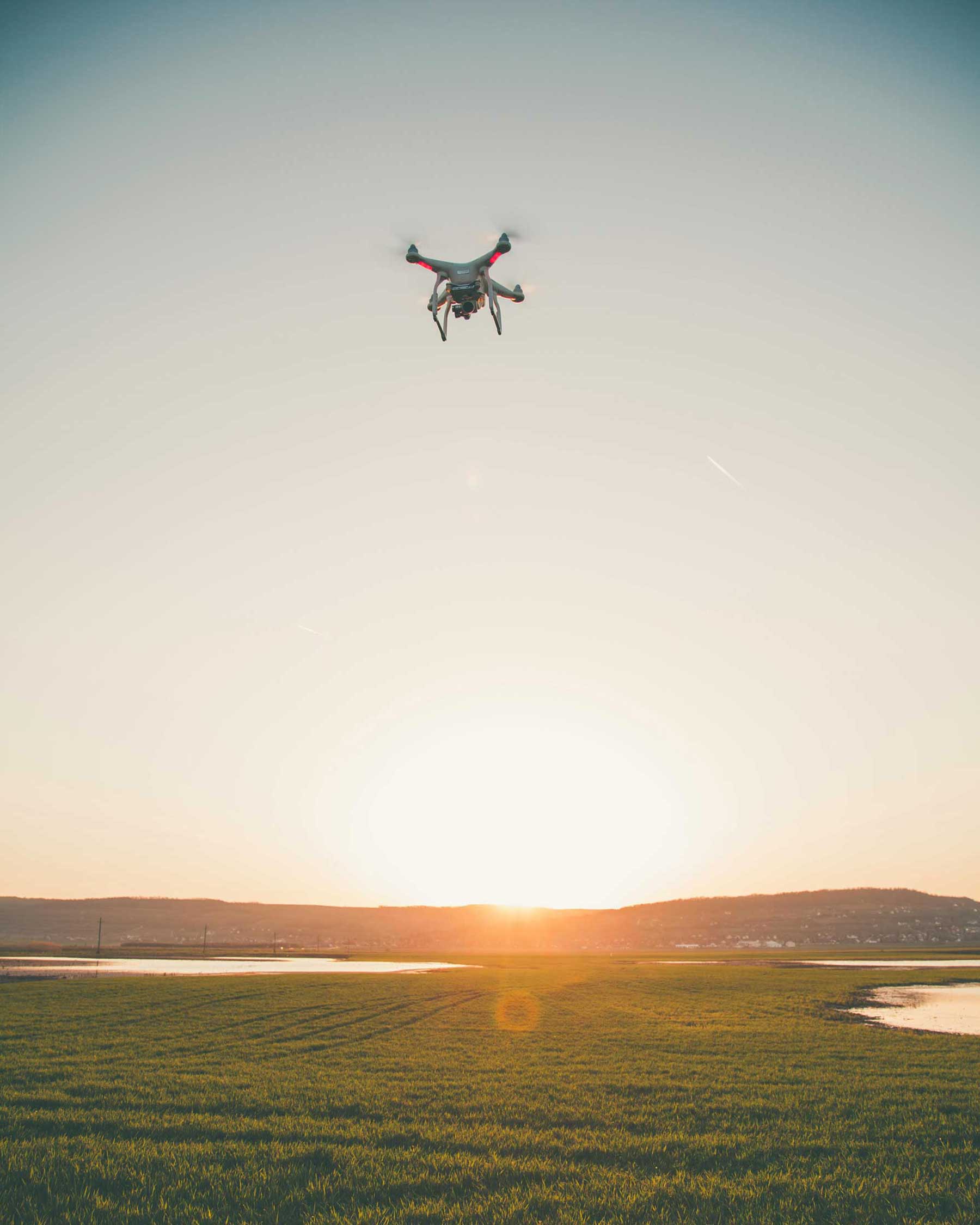
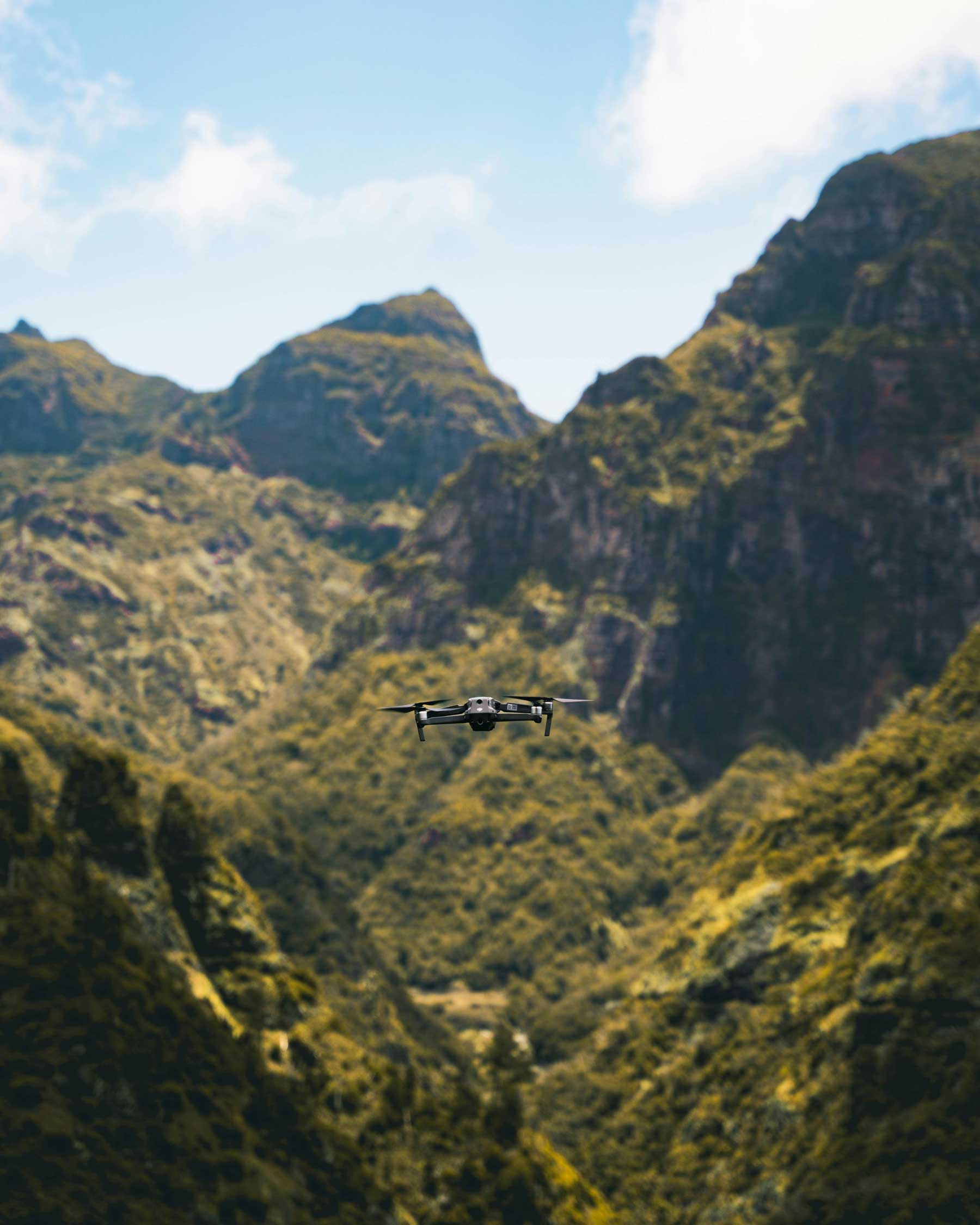
Come for the drones, stay for the data
Helping geospatial teams capture, process, and extract insights from the physical world
Who we are
Databird is your full service drone technology partner from project planning, throughout data acquisition, processing, and final deliverables.
We obsess over each drone flight, laser pulse, and pixel so your team can have the data it needs to build with confidence.
We obsess over each drone flight, laser pulse, and pixel so your team can have the data it needs to build with confidence.

Services
From full service solutions, to specialized assistance or training. Our range of services provide your team the support they need across any stage of your project.
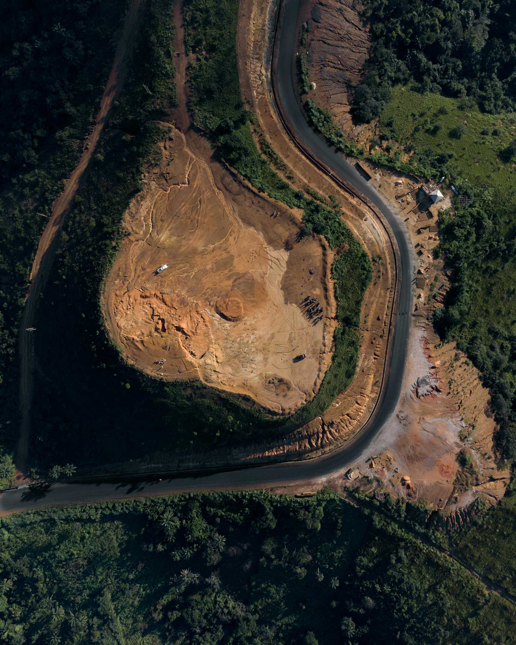
Lidar Pro
Aerial LiDAR to its full potential
Our full service aerial lidar solution combines deep technical knowledge, operational excellence, and robust quality control to provide you the data you need on any project.
Pixel Pro
Mapping & Photogrammetry
More than just aerial mapping. Our pixel pro end-to-end solution makes your project successful by providing accurate orthoimagery, volumetrics, and planimetrics at any scale.
Data Pro
Your data, our expertise
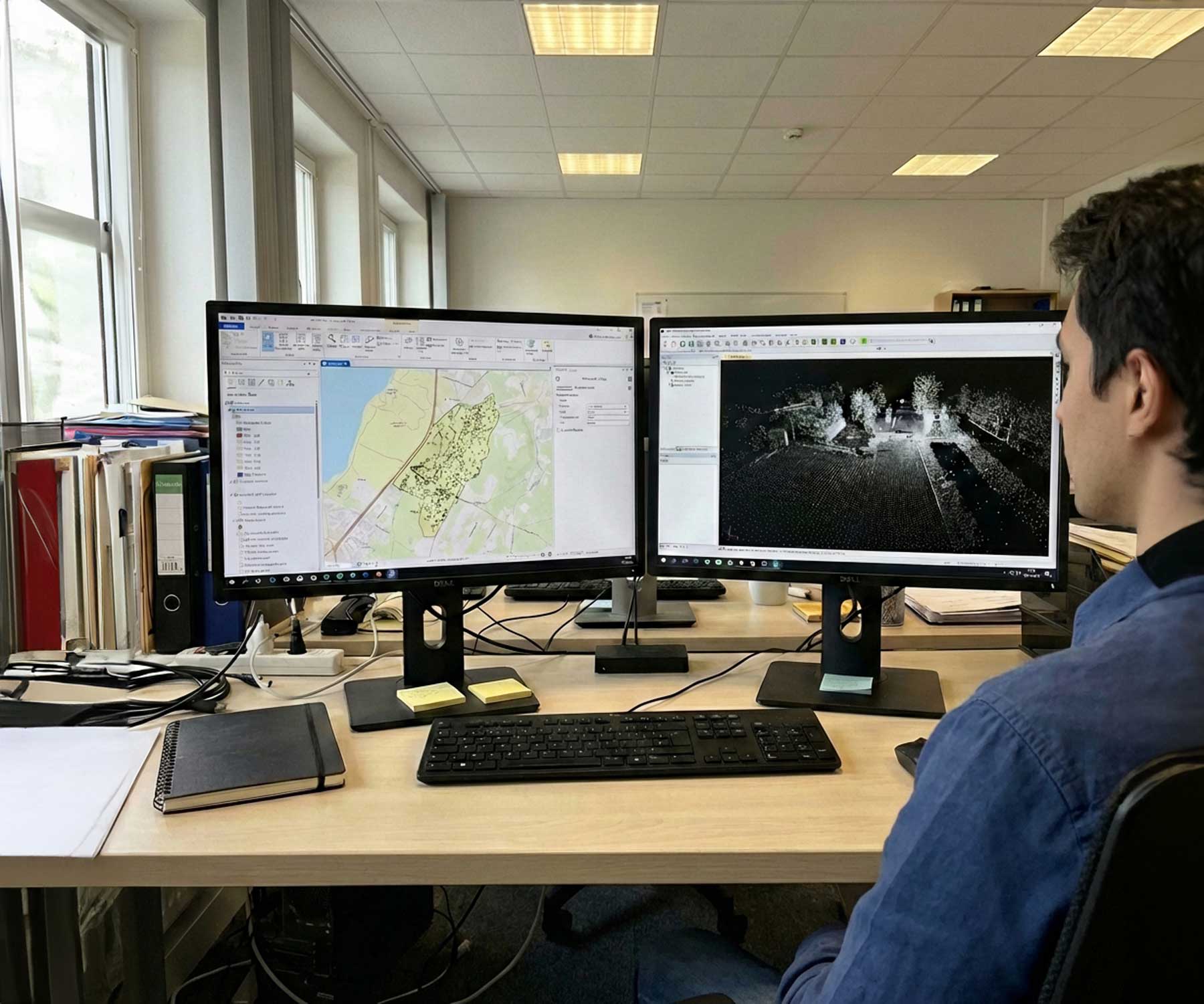
Data Pro transforms your raw aerial data into actionable insights while your team focuses on the next capture. Our robust processing workflow gives you exactly the data you need.
Inspections
Clarity, even in hard to reach places
Capture hard to reach places safely and efficiently.
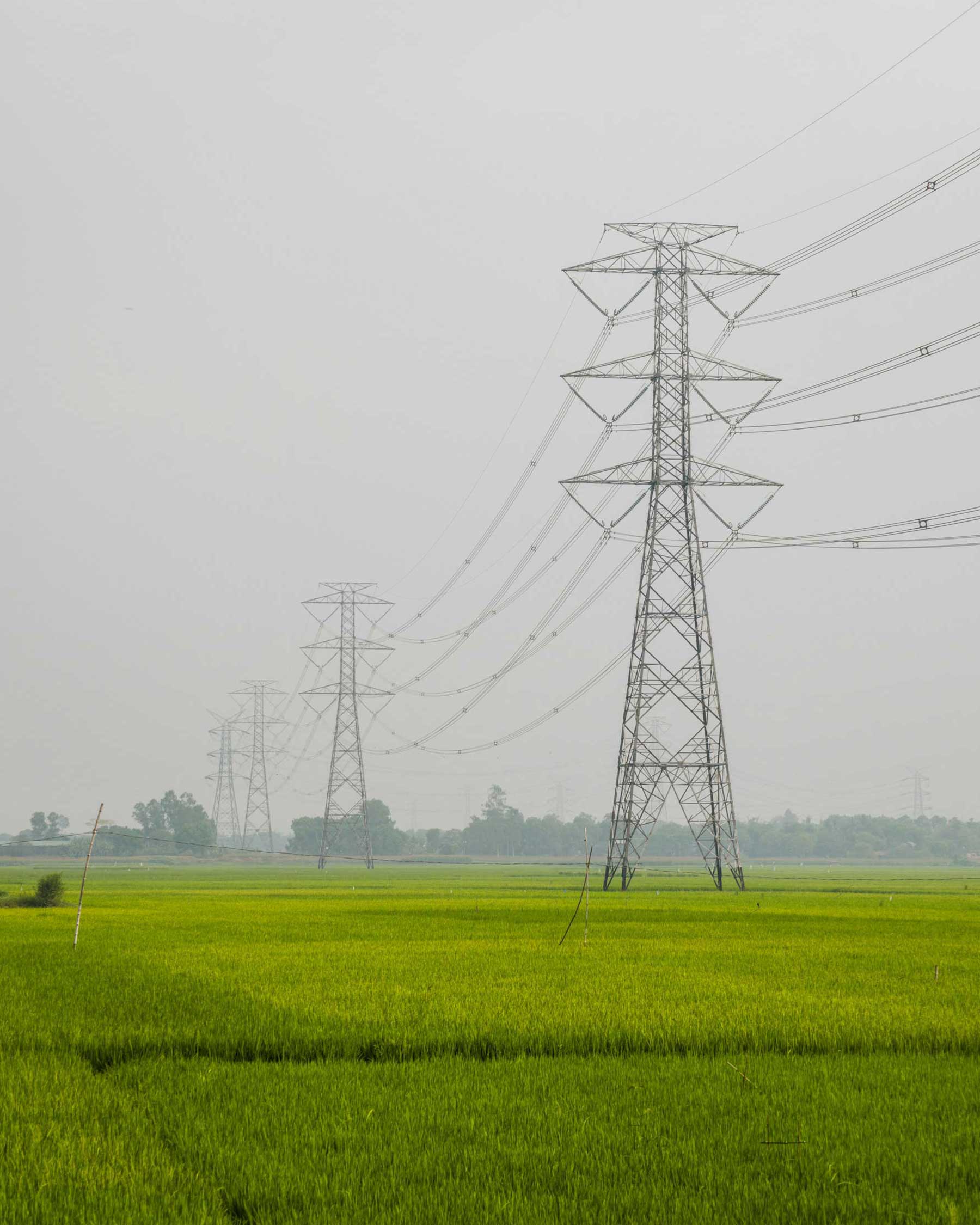
Progress Monitoring
Update to date imagery
Birds eye view of your project so you can understand, share, and plan with confidence.

Consulting & Training
Empowering your team with proven expertise
Jump start your drone team by learning from our experts that deliver accurate data every day.

Operating Principles

Fast
By using cutting edge technology, semi automated systems, and always keeping a person in the loop. We are able to go from notice to proceed (NTP) to data delivered to you in days or weeks.

Accurate
Using our experience, proven workflows, and robust QA/QC process. You can be sure that your data will be accurate and precise.

Reliable
We put a heavy emphasis on safety and consistency starting with how we train our pilots and field crew, how we maintain and service our equipment, and we plan and execute the project.
Company


.svg)
Pilots


Markets

Deliverables
We transform raw aerial data into precise deliverables — from mapping to advanced analytics — giving you the tools to plan, measure, and make confident decisions.
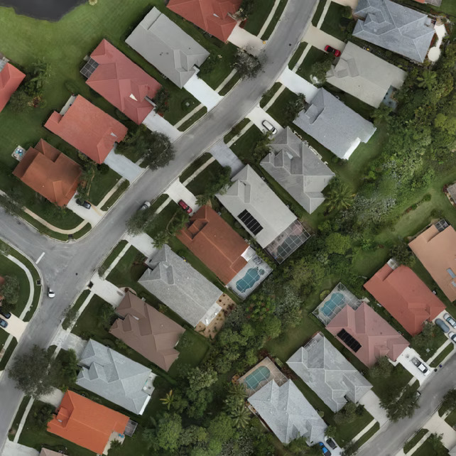
Georeferenced Orthomosaic
High-resolution, true-to-scale aerial imagery stitched together and precisely georeferenced for mapping, planning, and analysis.
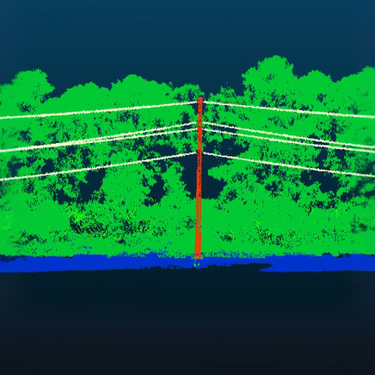
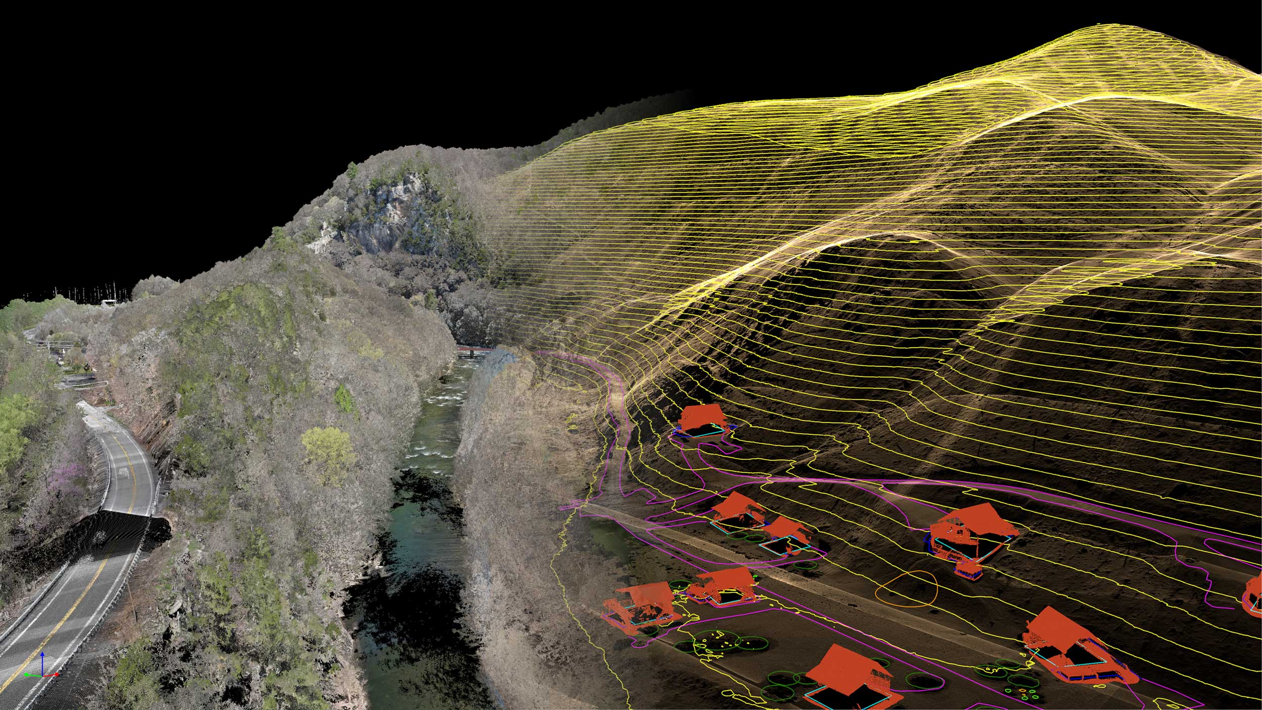
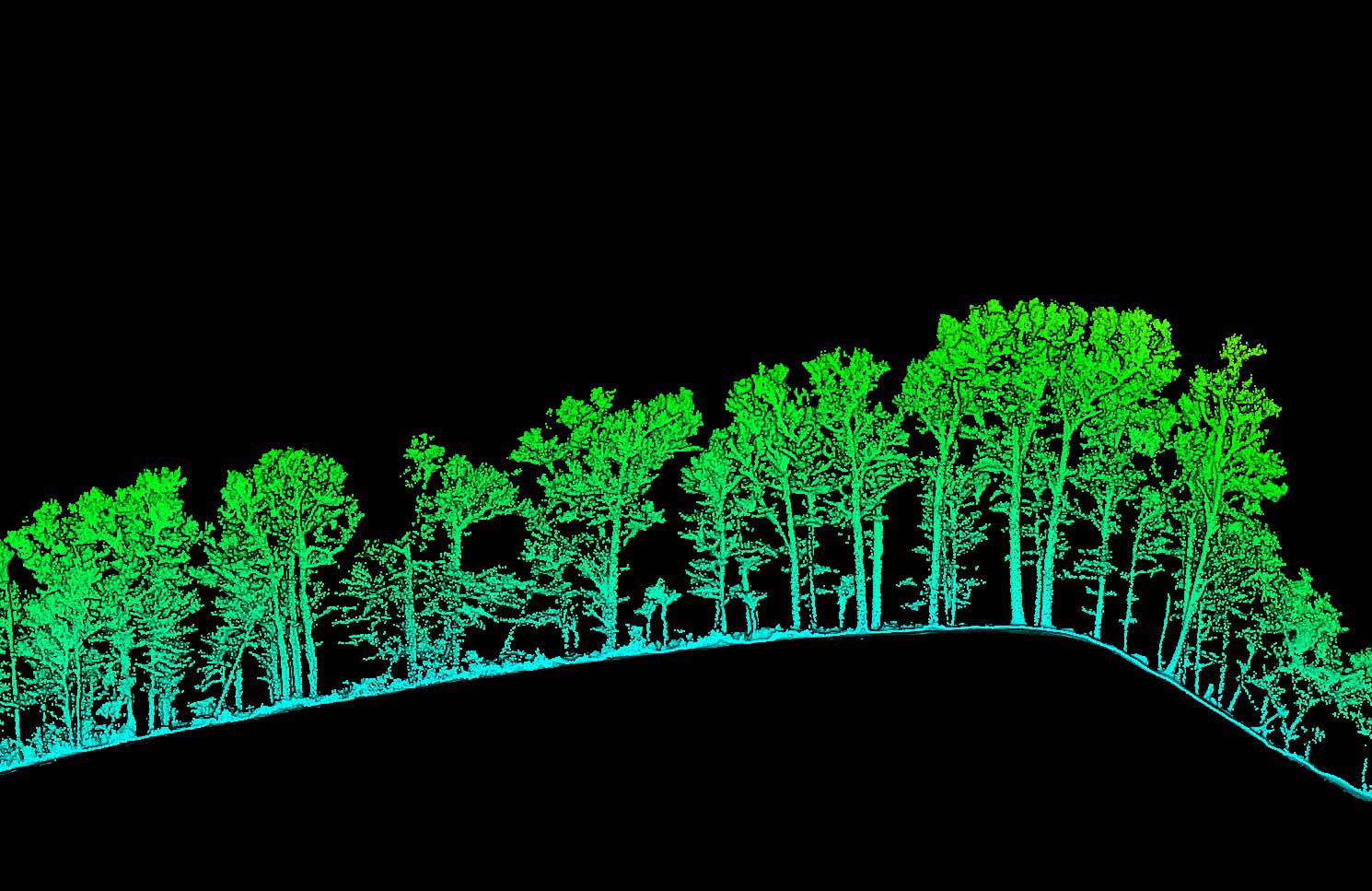
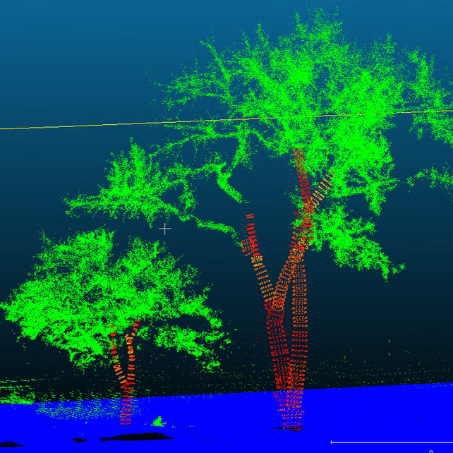
Classified Point Cloud
Dense 3D point cloud data automatically classified into categories (ground, vegetation, buildings, etc.) to support accurate modeling and measurements.
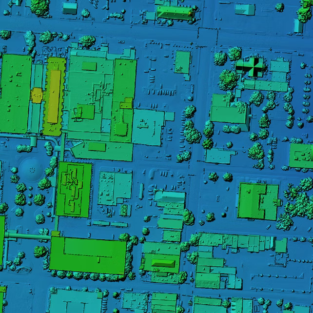
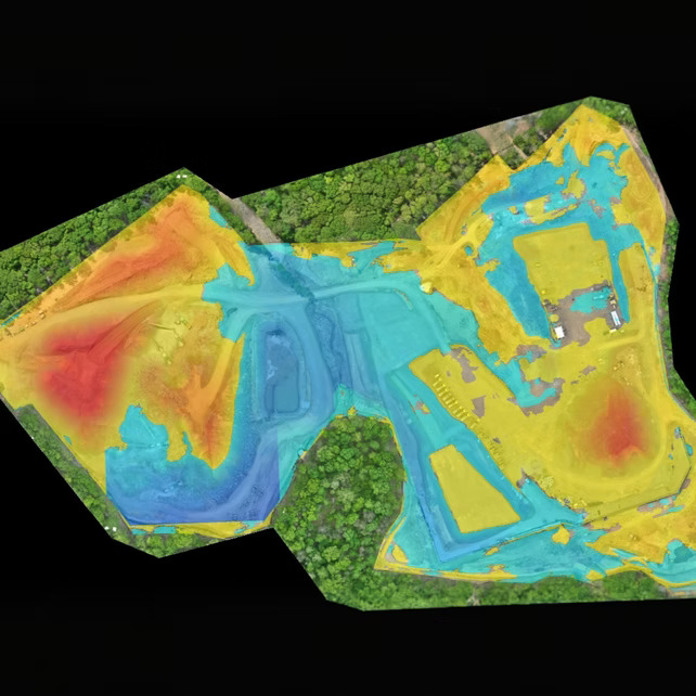
Digital Elevation Model (DEM)
Surface representations that capture terrain variations with precision, enabling accurate volume calculations, hydrology modeling, and site planning.
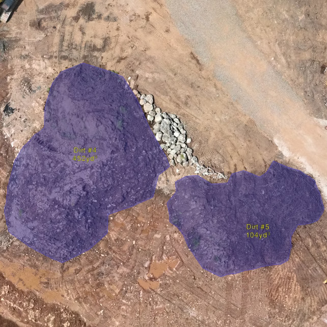
Stockpile Reports
Accurate volume measurements for stockpiles, materials, and inventory management — reducing guesswork and improving operational efficiency.
Cut/Fill Calculations
Precise earthwork analysis showing where material needs to be removed or added, helping you plan grading, excavation, and construction with confidence.
Advanced Point Cloud Processing
Accurate volume measurements for stockpiles, materials, and inventory management — reducing guesswork and improving operational efficiency.
Planimetrics
Digitized vector data of site features such as curbs, edges, utilities, and structures, supporting engineering and design workflows.

Surface TIN / Contours
Triangulated irregular networks (TINs) and contour lines derived from LiDAR or photogrammetry data to provide detailed terrain models for planning and design.
Latest News
Stay Informed with Our Latest News Updates

IT STARTS NOW
Transform your ideas into results
Share your vision with us, and we’ll create the path to make it real.
Thank you! Your submission has been received!
Oops! Something went wrong while submitting the form.